- USD 29.49
- View more offers at FS Addon Compare
- Added: June 5, 2026
- Updated: June 12, 2026
Australia – All Sights – Full Bundle
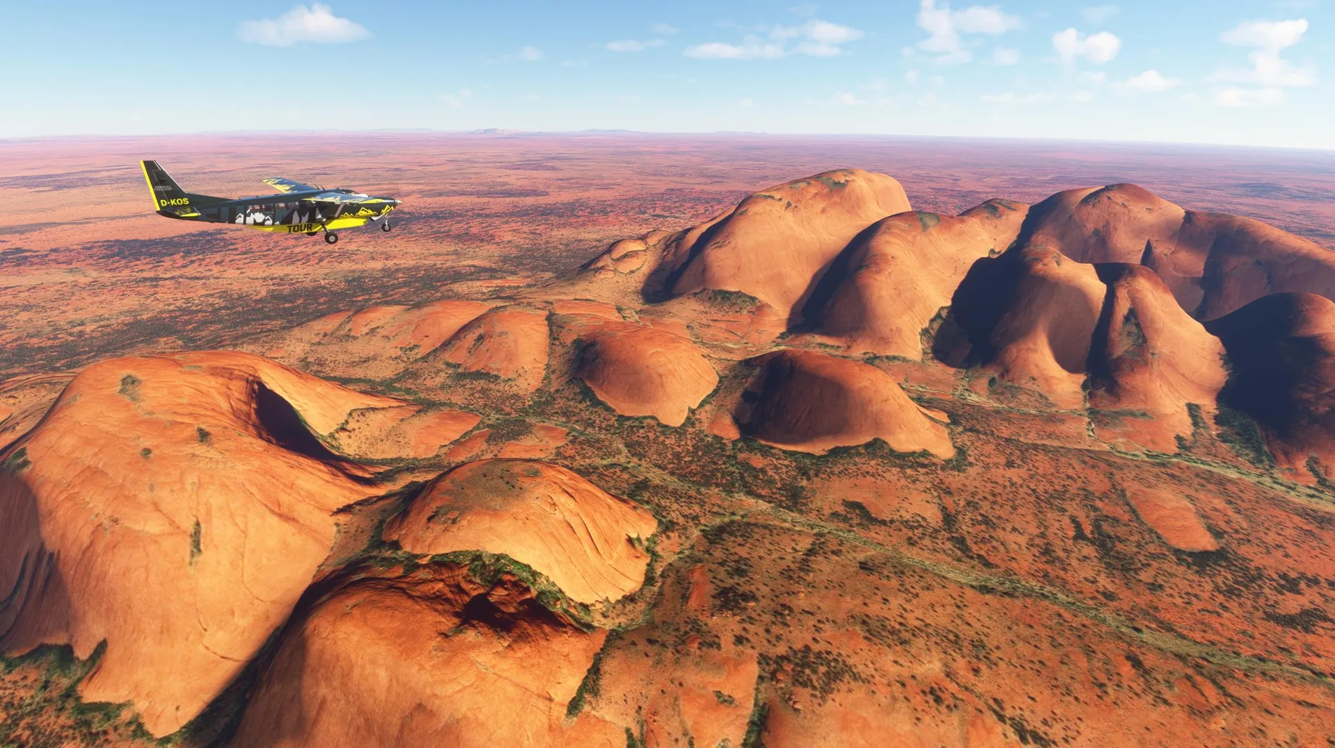
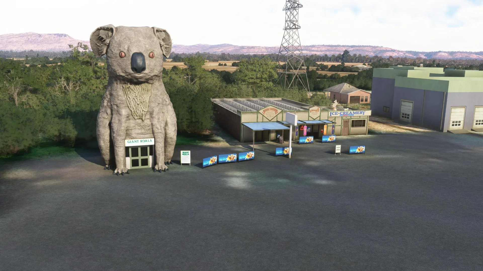
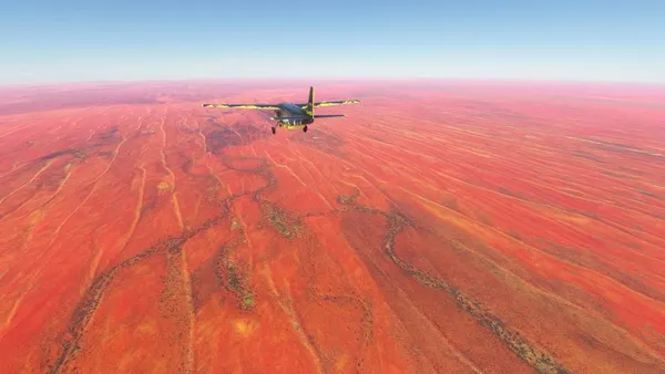
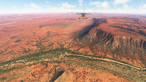
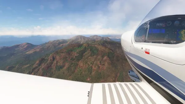
On May 5, 2026, World Update XXI: Australia was released, featuring many newly added POIs, AOIs, and airports. That’s reason enough to take another closer look at this continent. In this mission, you’ll encounter all the POIs, AOIs, and airports created for Microsoft Flight Simulator to date, as well as the continent’s most iconic landscapes.Part 1 leads through the Northern Territory, a landscape defined by extreme geography, deep Indigenous cultural roots, and vast demographic emptiness. From the tropical Top End, the route crosses the Barkly Tablelands and the immense Simpson Desert before reaching the Red Centre with Uluru–Kata Tjuta.
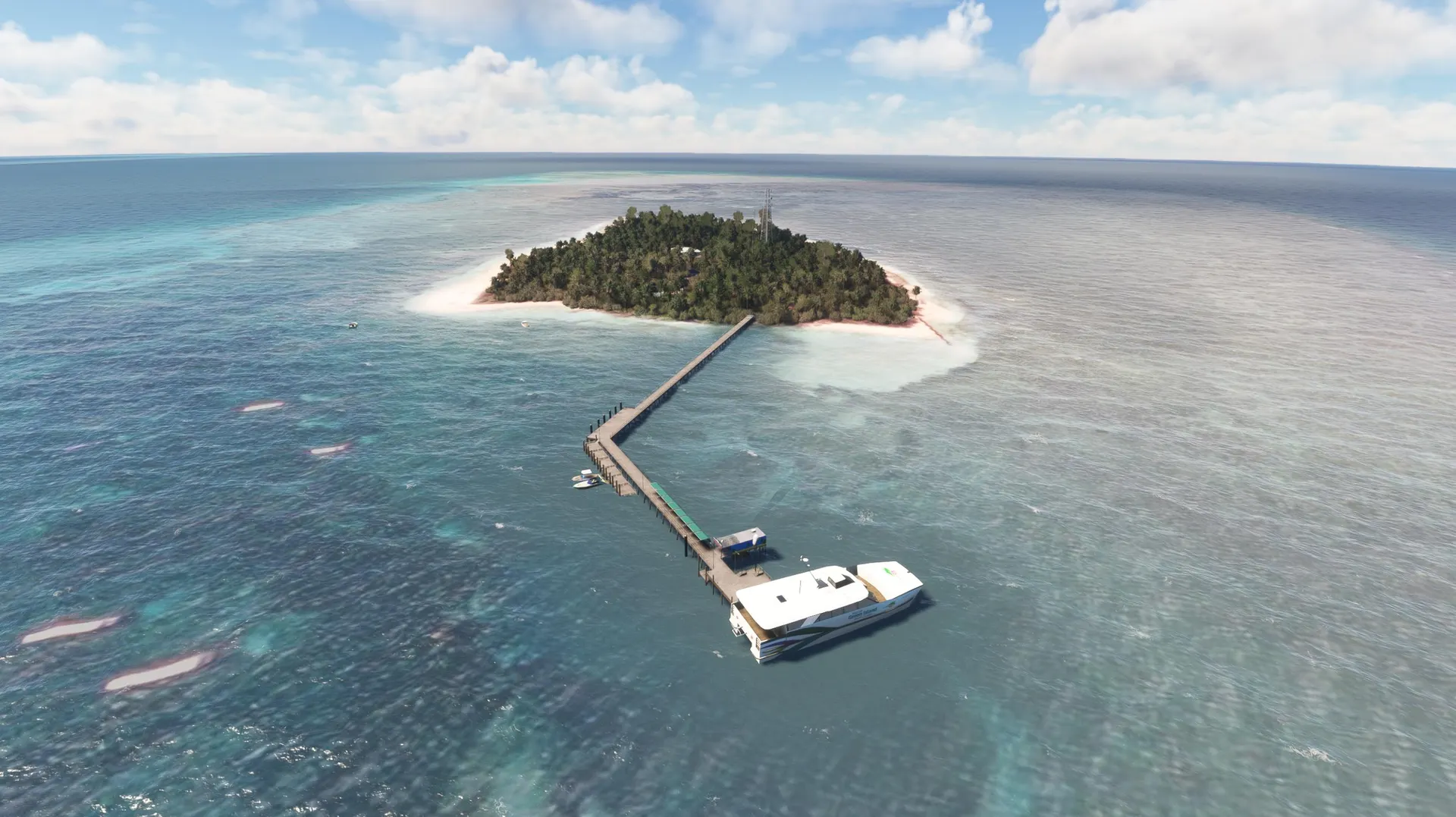
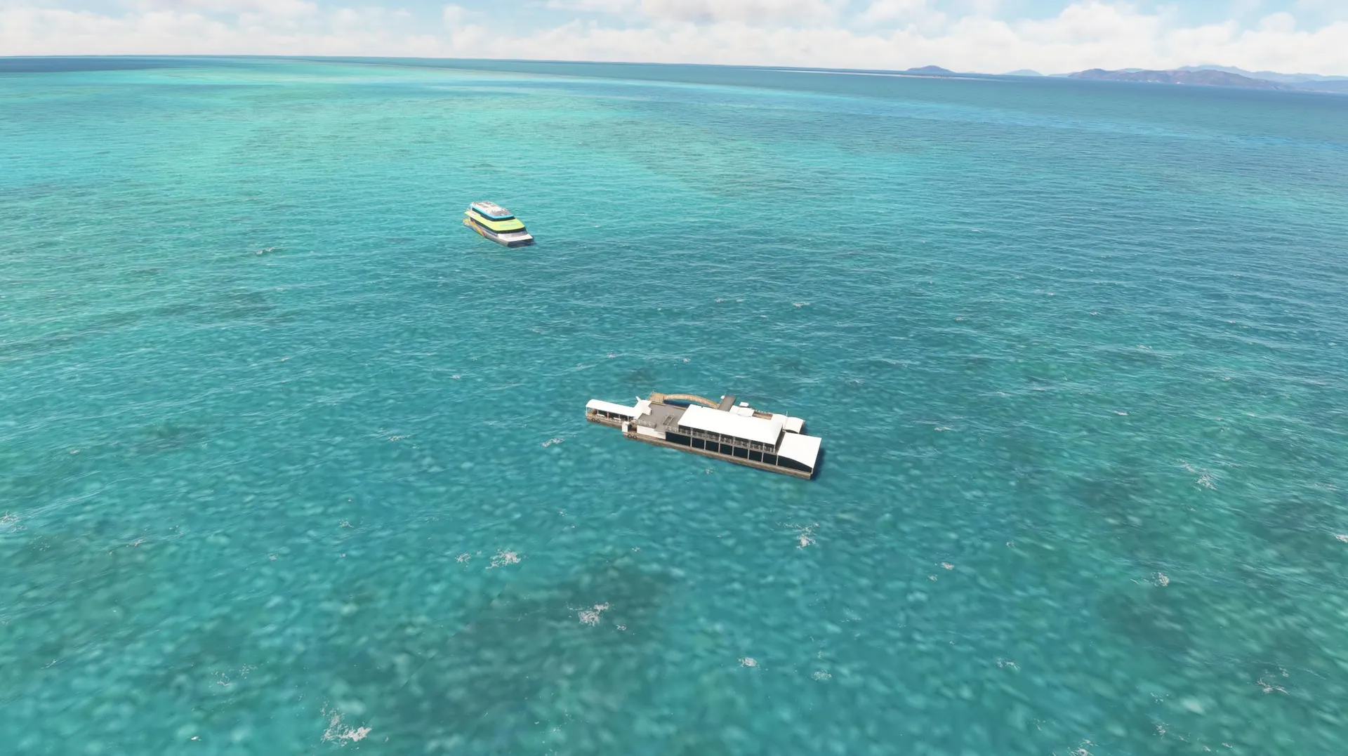
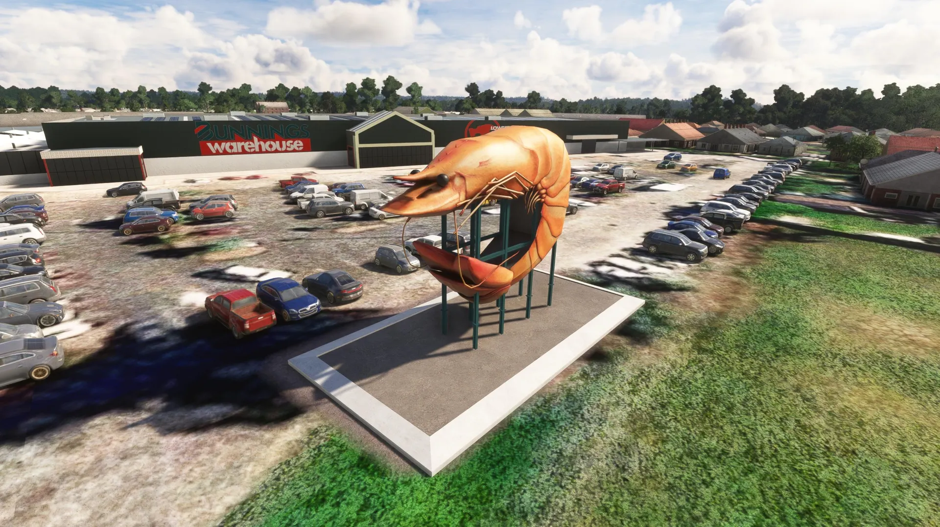
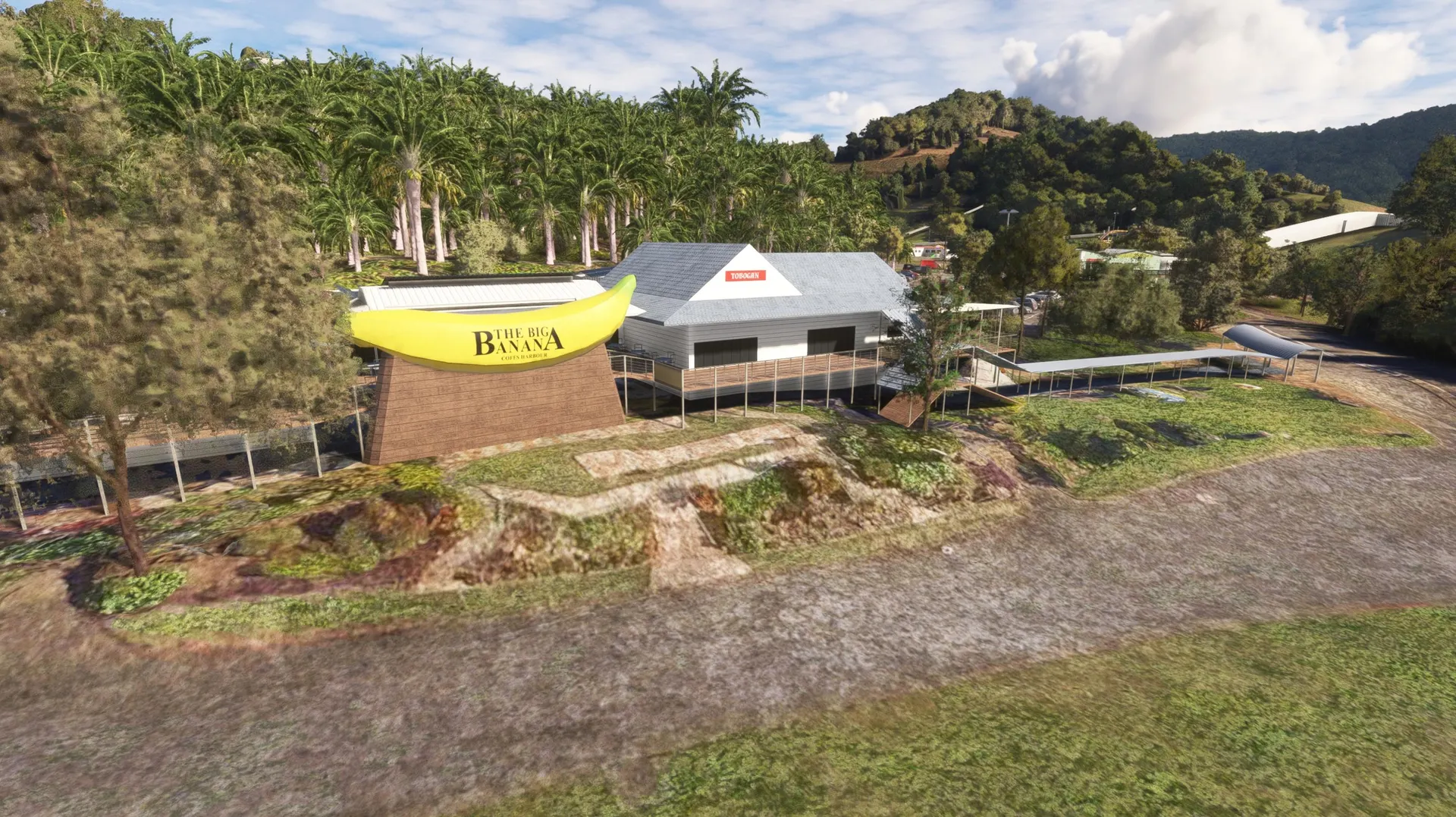
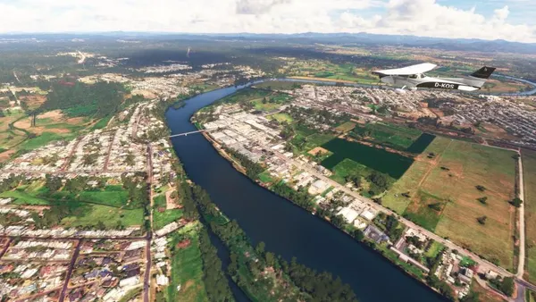
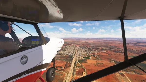
Part 2 follows the east coast from Cooktown to the Gold Coast, unfolding like a long geographical arc: rainforest, mangroves, and reef systems give way to drier agricultural zones, historic port towns, and finally the dense urban corridor of southeast Queensland. Seen from the air, this segment feels like a rapid traversal of an entire continent, shifting from archaic coastal forms to metropolitan landscapes.
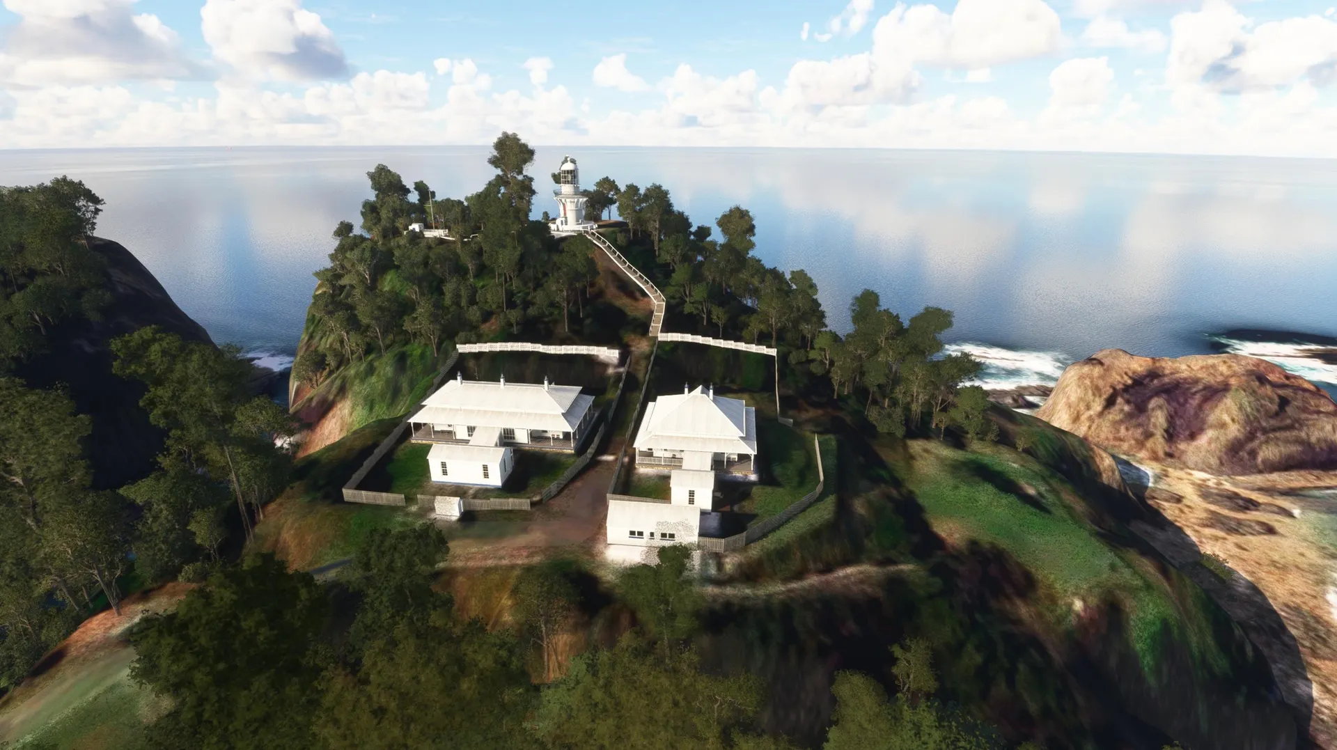
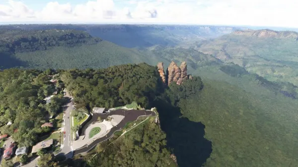
Part 3 continues through New South Wales and the Australian Capital Territory, tracing a clear transition from subtropical shores into the highlands, alpine regions, reservoirs, and valleys of the southeast. The descent toward Mallacoota and the Sapphire Coast completes a full cross‑section of climate, vegetation, and topography.
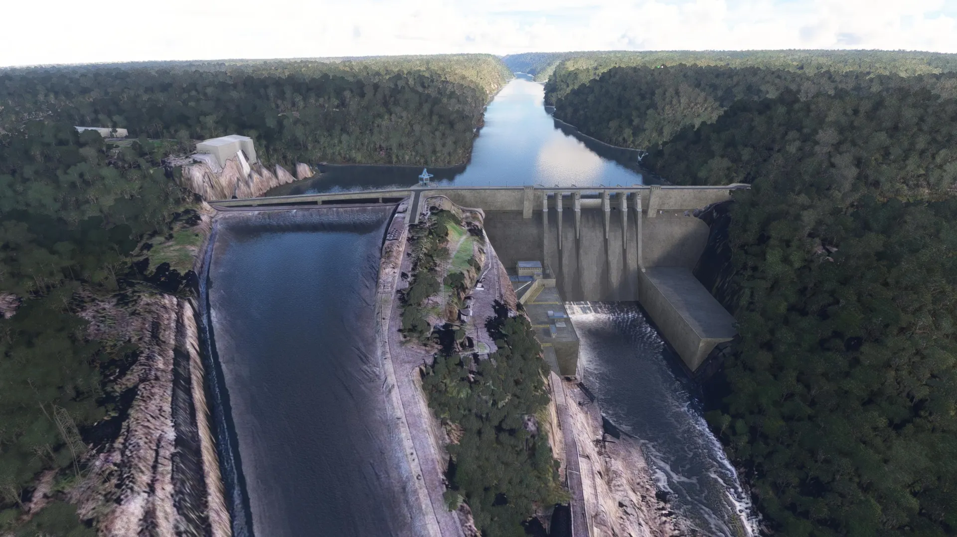
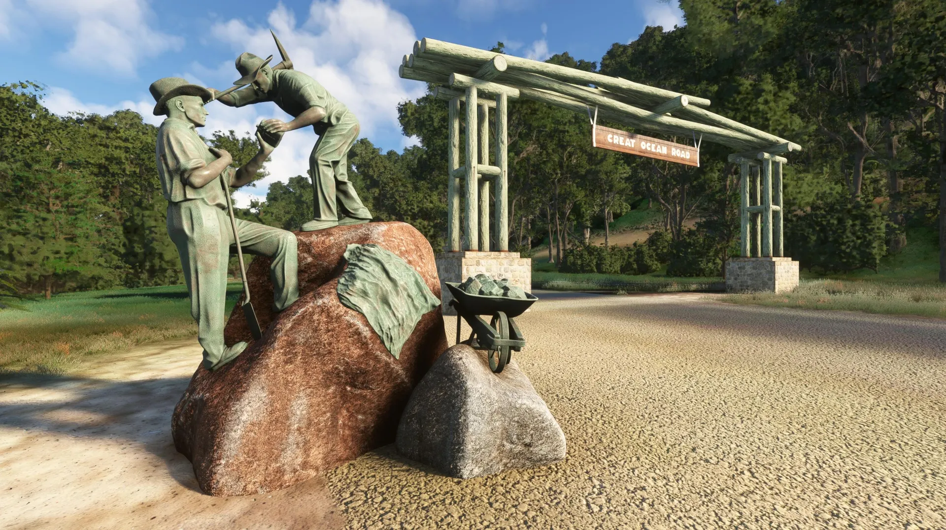
Part 4, from Mallacoota to Mount Gambier, is one of the most diverse sections: it begins in the lagoon world of Croajingolong, follows the Australian Alps, crosses Bass Strait to Tasmania, and returns to the mainland along the Great Ocean Road and the volcanic terrain of the Kanawinka Province. This creates a natural, geological logic that ties the entire segment together.
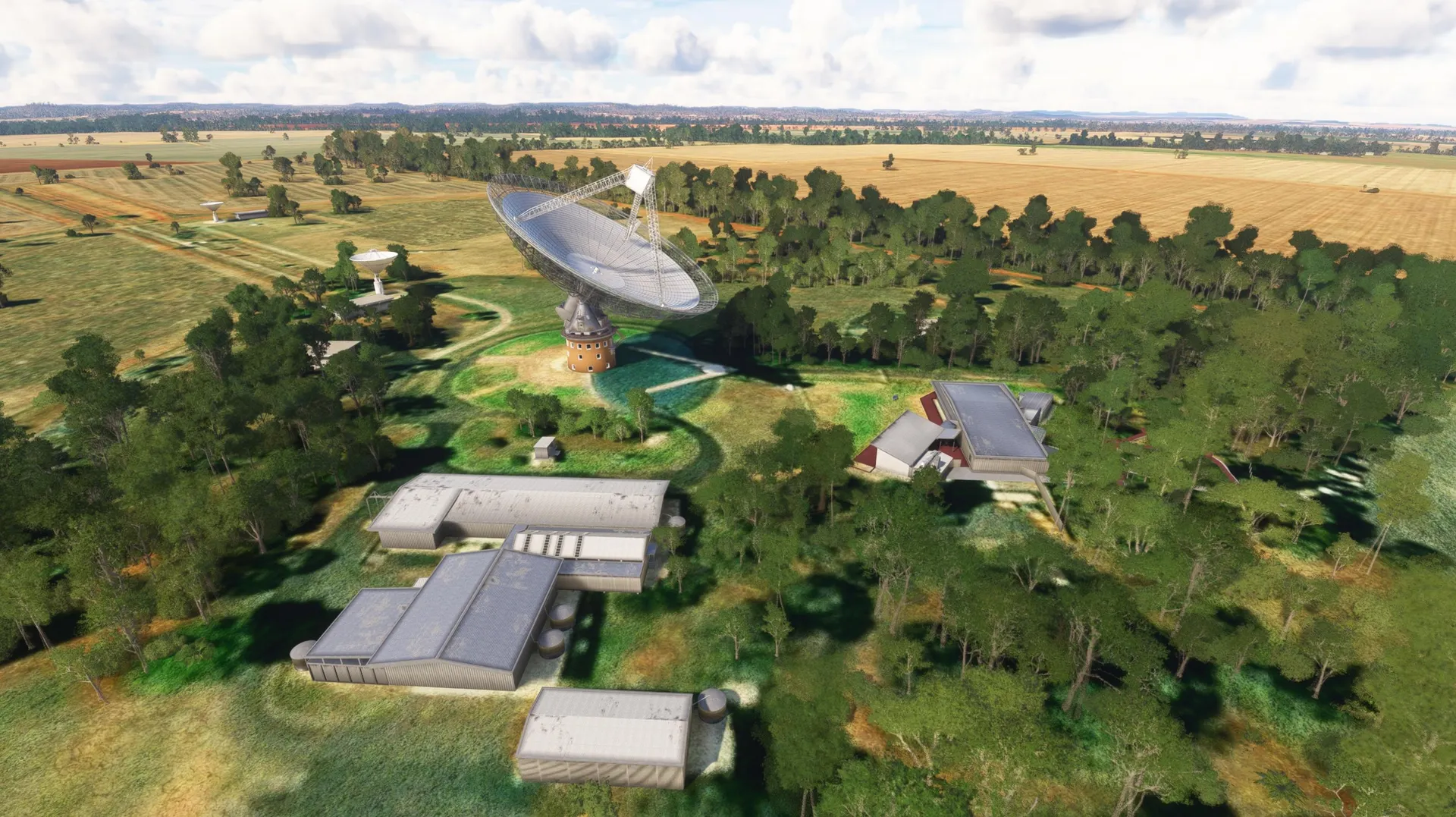
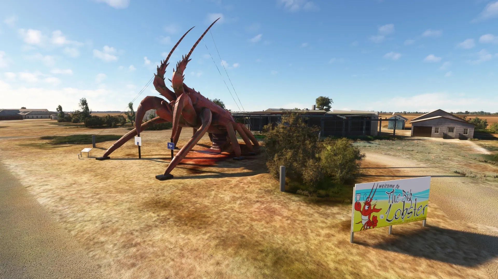
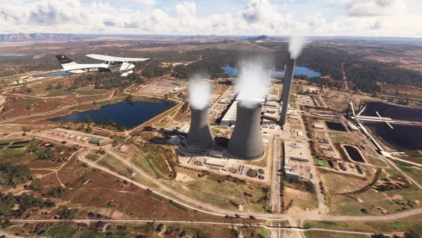
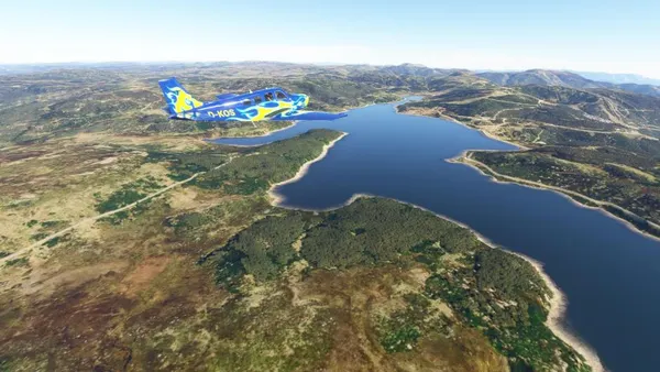
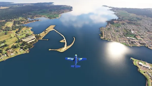
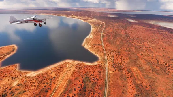
Part 5 moves through South Australia in a slow, expansive transition: from Mount Gambier’s volcanic lakes across the Limestone Coast and the wide agricultural lands of the Murraylands to the raw maritime energy near Goolwa and Kangaroo Island. Adelaide appears briefly as an urban contrast before the route enters the plains and the ancient folds of the Flinders Ranges. With Lake Eyre, the deserts, and Coober Pedy, the journey reaches its most surreal and quietest landscapes before turning toward the Eyre Peninsula and ending at Ceduna.
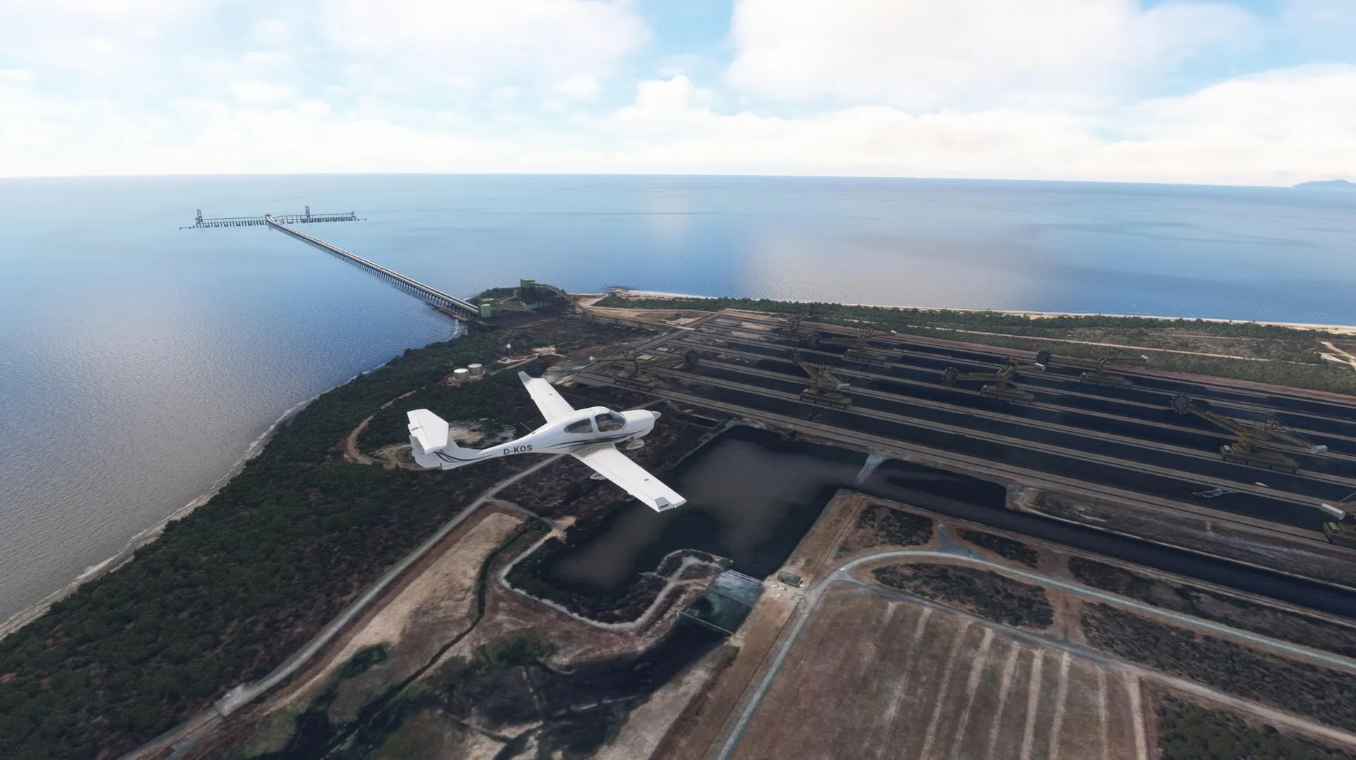
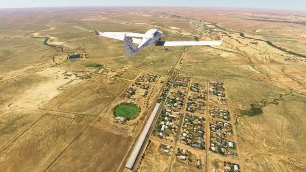
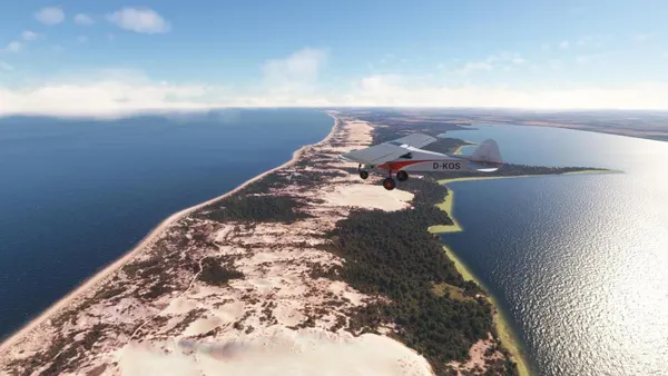
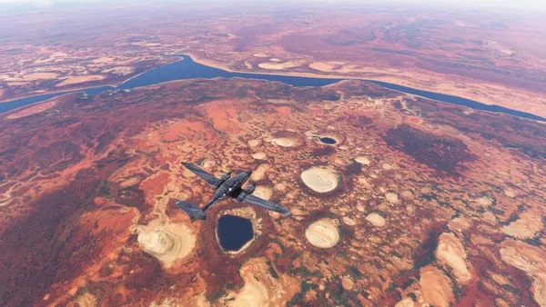
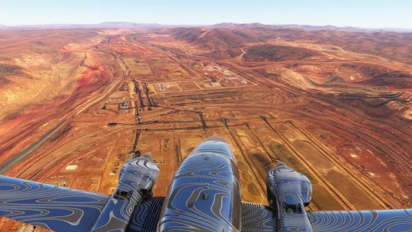
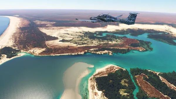
Part 6 leads from Busselton into the vast West Australian outback, where farmland gradually dissolves into red, silent plains. Between Degrussa, Lake Nabberu, and the Shoemaker Crater, the great lake plateau unfolds with its bright salt flats and polygonal patterns. Further north, the Pilbara’s mining landscapes dominate, with massive open‑pit mines and remote camps appearing like engineered islands in an ancient stone desert. Upon reaching the Kimberley coast, the scenery transforms into a mosaic of mangroves, reefs, islands, and powerful tides stretching to the Dampier Peninsula. The journey concludes on the Mitchell Plateau, an ancient sandstone highland of palm groves and deep gorges—one of the most remote and atmospheric regions in Australia.
The descriptions in the Navlog have been machine-translated into all languages available in MSFS. As a result, translation errors may occur. If you have a better translation, please send it to me. The individual segments are flown using very different aircraft. PC users can switch aircraft. Instructions for doing so are available here: https://www.koschis-web.de/en-us/help-support#change A GPS course is available, and the weather and many other settings can be customized for an optimal flight experience.