- USD 10.99
- View more offers at FS Addon Compare
- Added: July 23, 2026
- Updated: October 23, 2026
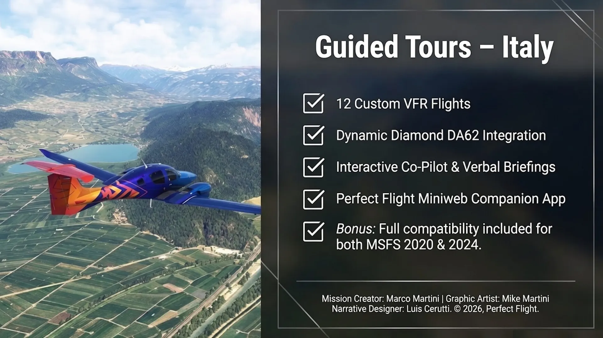
Bonus: on purchase is included the MSFS 2020 and 2024 version of the item
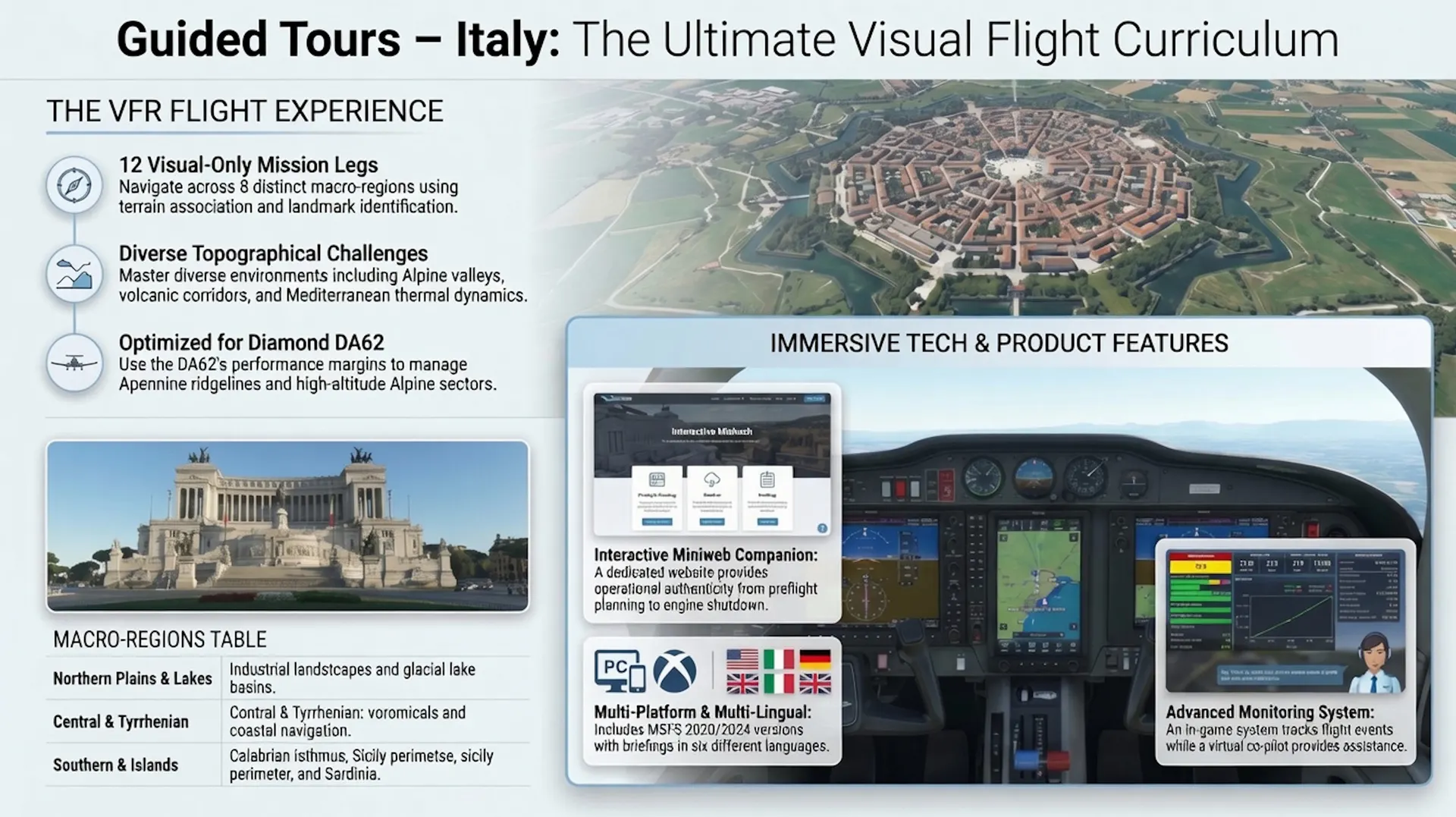
GUIDED TOURS - ITALY VFR A cumulative portrait of Italian geography from the cockpit perspective.
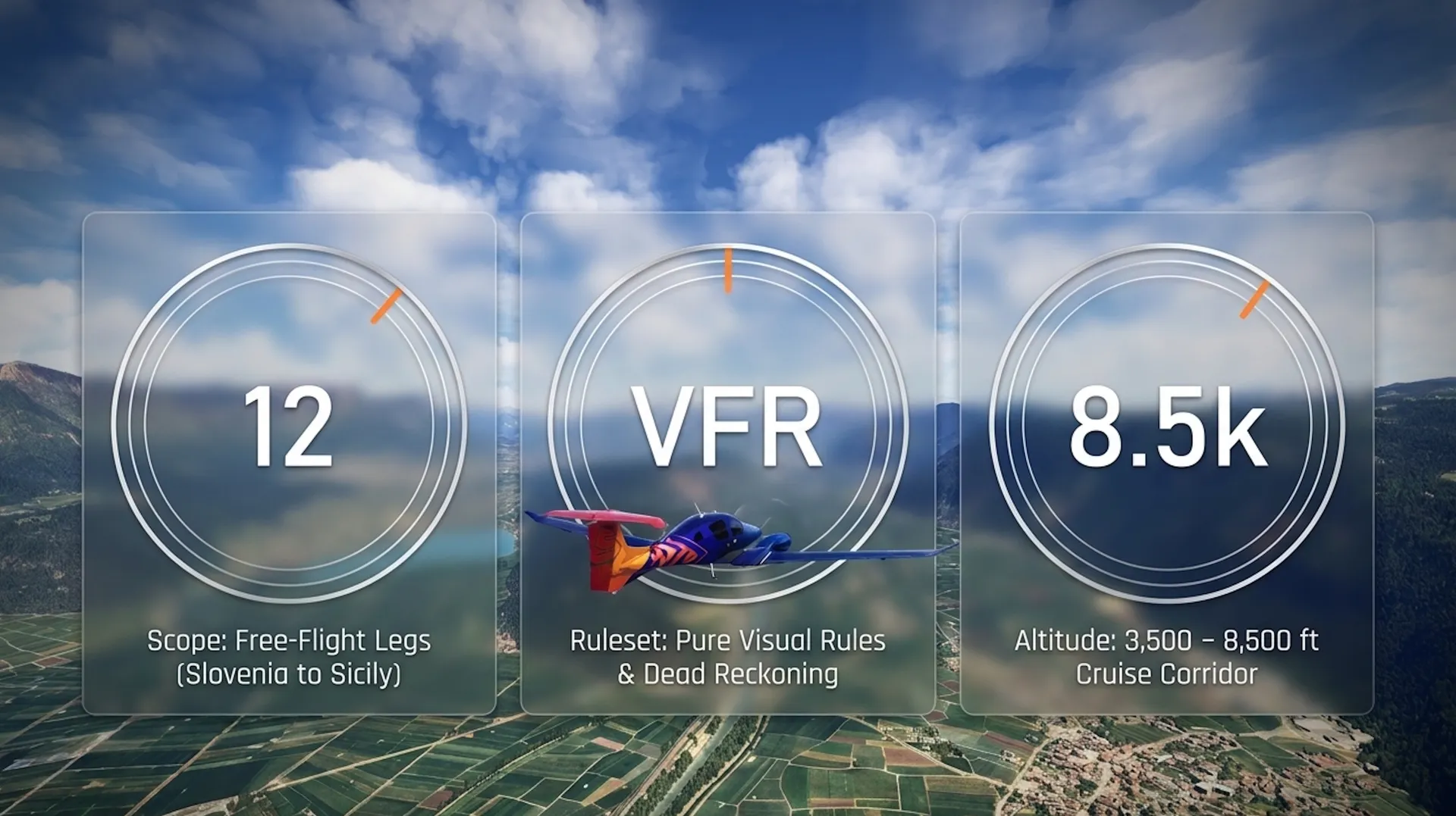
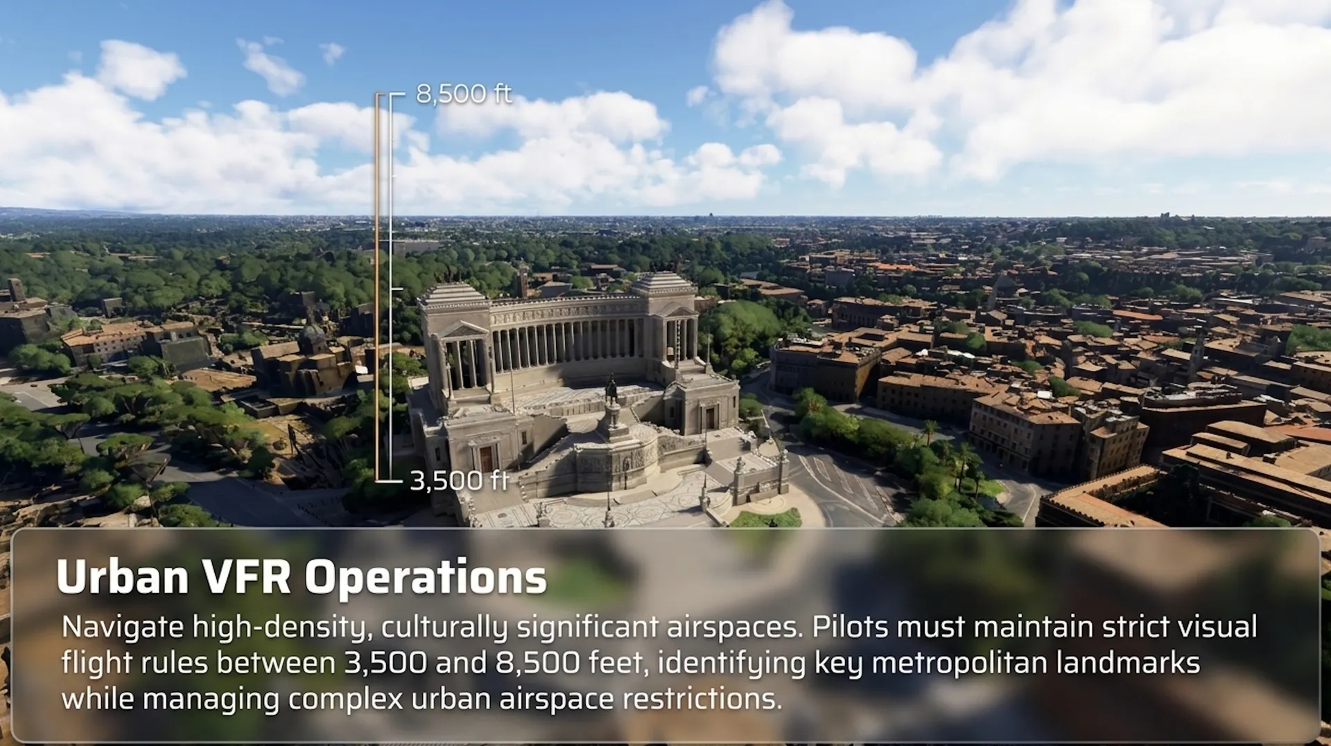
This VFR Guided Tour of Italy package comprises twelve free-flight legs flown exclusively under visual rules, linking airfields from the Slovenian border to Sicily's eastern shore and from the Alpine foothills to the Sardinian coast. Each mission operates placing full navigational responsibility on the pilot through terrain association, landmark identification, and dead reckoning across cruise altitudes ranging from three thousand five hundred to eight thousand five hundred feet.
Every mission combines practical VFR flying with an evocative narrative. With over 200 audio recordings, your tour guide provides background on natural and human history, and gives insight on specific points of interest while you explore yje "Bel Paese".
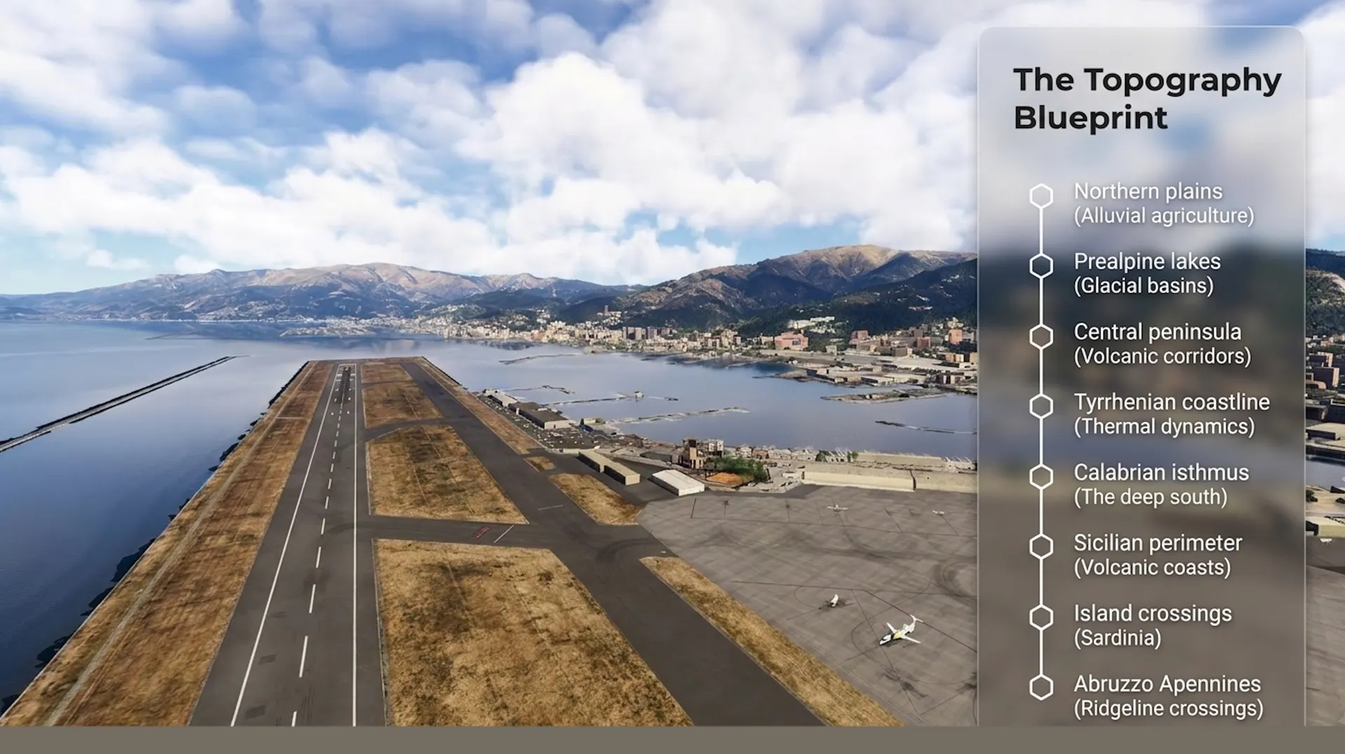
The sequence progresses through height distinct macro-regions:
- Northern Italy's industrial plains;
- Prealpine lakes;
- Central peninsula's volcanic corridors;
- Tyrrhenian coastline;
- The deep south's Calabrian isthmus;
- The Sicilian perimeter;
- Island crossings of Sardinia;
- Abruzzo Apennines;
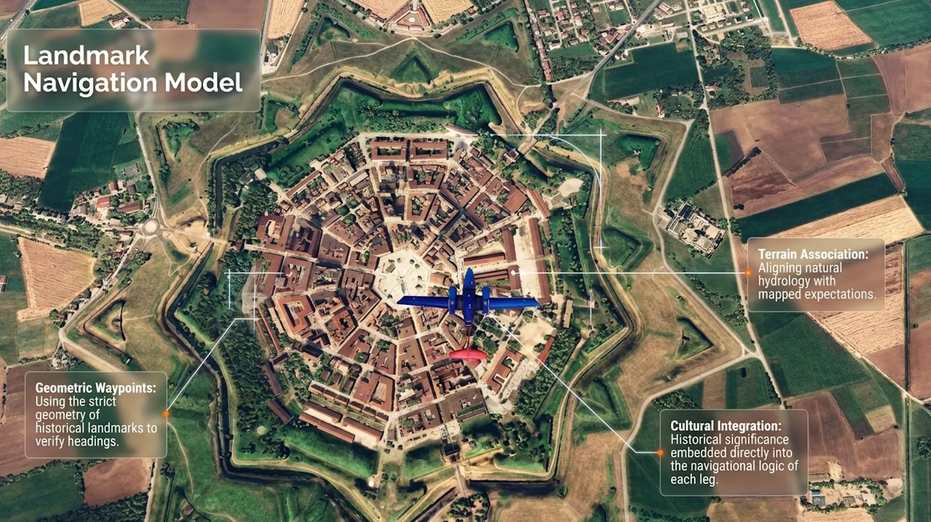
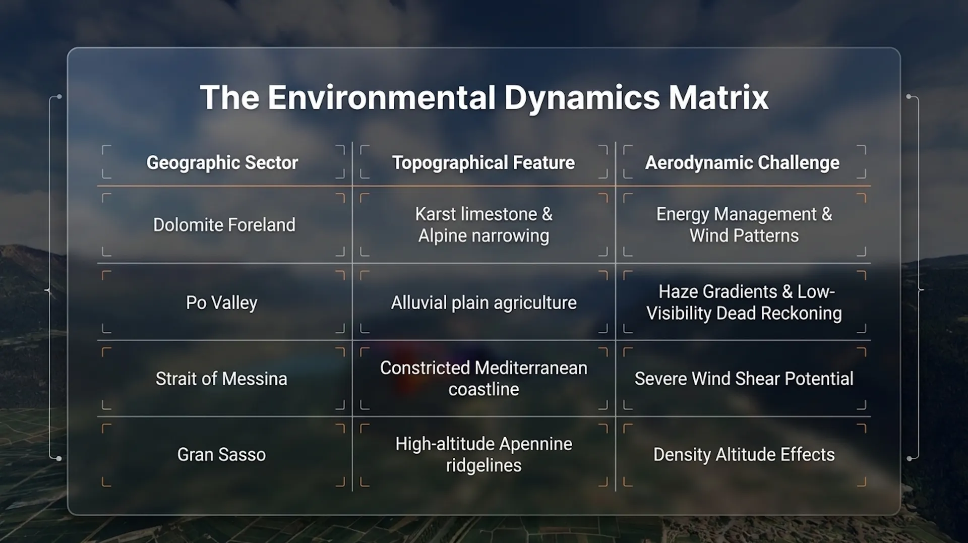
Throughout the tour, the aircraft encounters every major Italian topographical category: Karst limestone and lagoon hydrology, glacial lake basins and Alpine valley narrowing, alluvial plain agriculture and Apennine ridgeline crossing, volcanic coastlines and Mediterranean thermal dynamics. The selected points of interest function as operational waypoints whose historical and cultural significance is embedded directly into the navigational logic of each leg. Pilots will manage energy through the Dolomite foreland's wind patterns, read the Po Valley's haze gradients, judge the Strait of Messina's shear potential, and account for the Gran Sasso's density altitude effects—each sector demanding a specific technical response to its underlying geography.
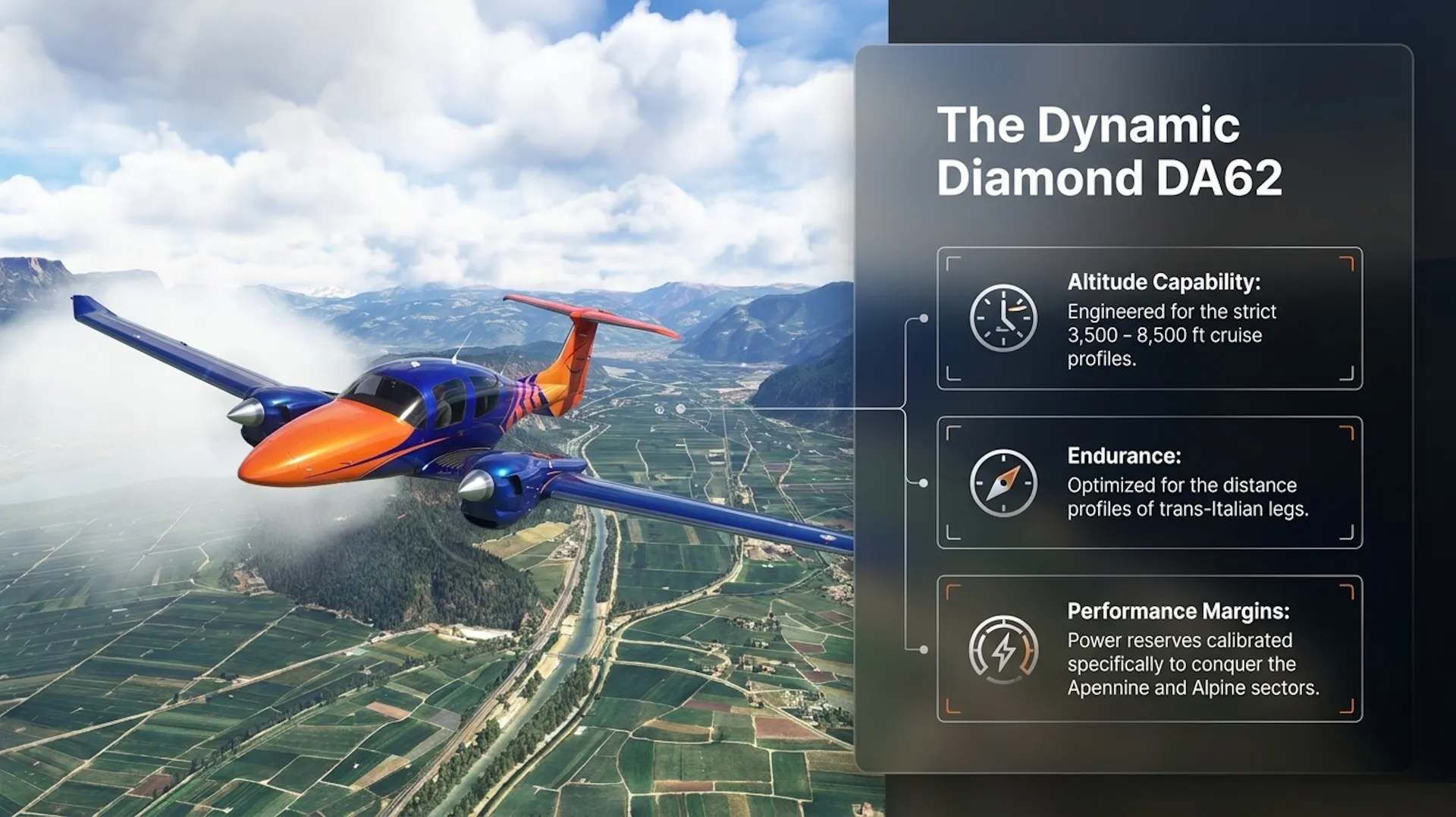
The package uses the dinamic Diamond DA62, capable of the altitude and distance profiles involved, with performance margins sufficient for the Apennine and Alpine sectors.
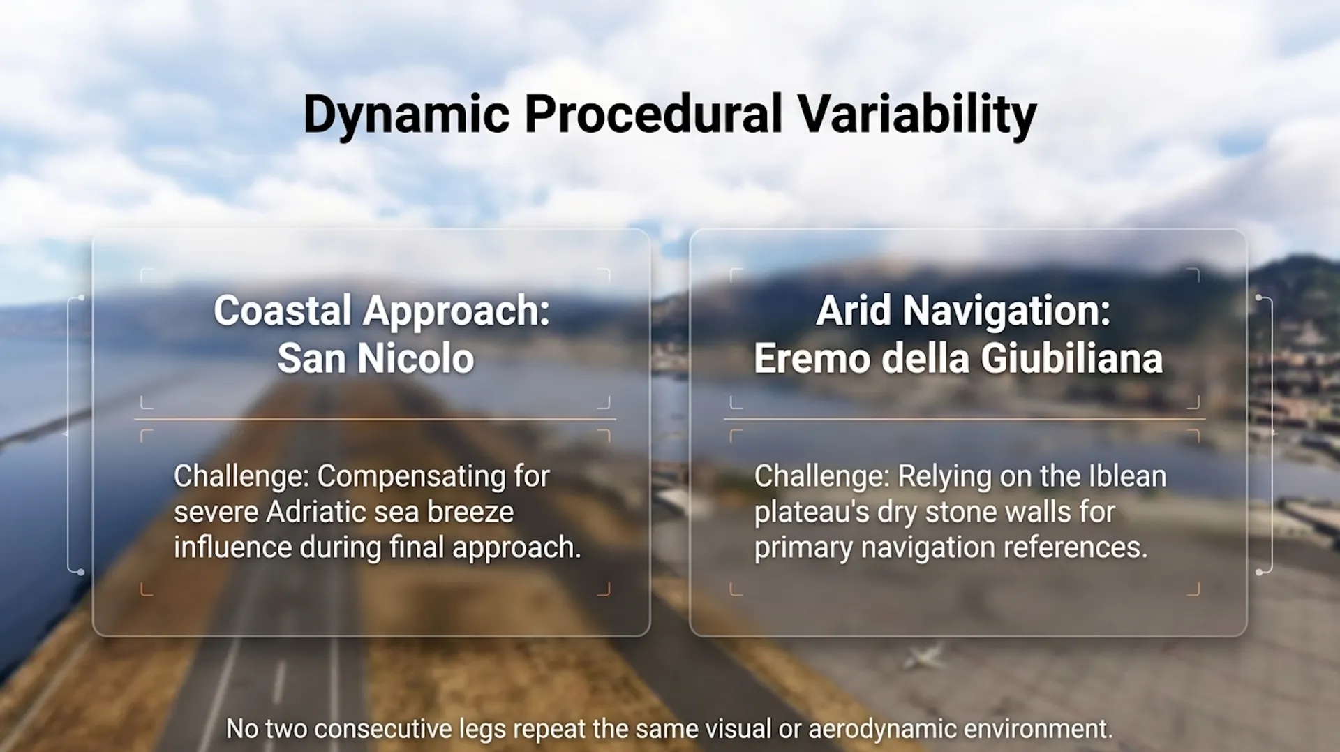
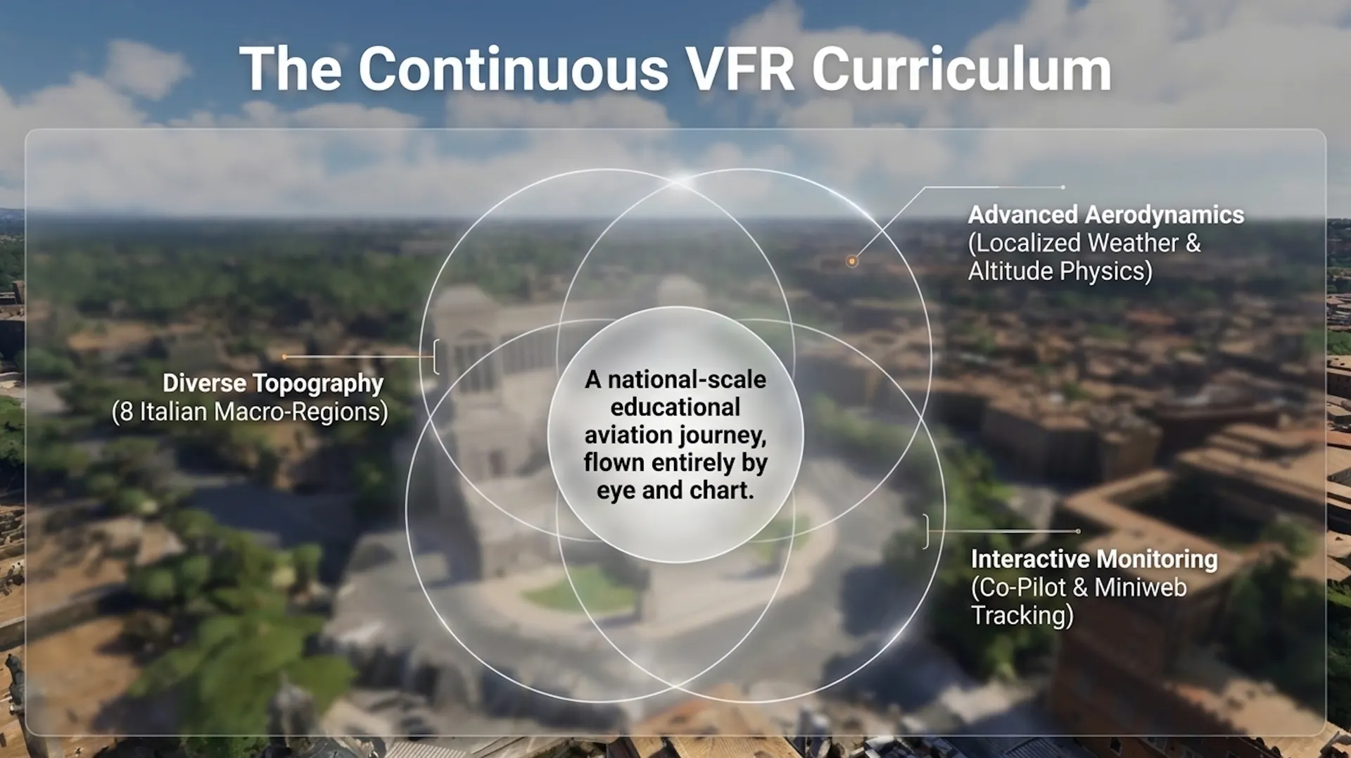
No two consecutive legs repeat the same visual or aerodynamic environment, ensuring that each briefing addresses a unique set of procedural variables: from the Adriatic sea breeze influence at San Nicolo to the Iblean plateau's dry stone navigation references above Eremo della Giubiliana. Together, these twelve sectors form a continuous VFR curriculum across a national airspace of exceptional geographic diversity, flown entirely by eye and chart.
What's Included
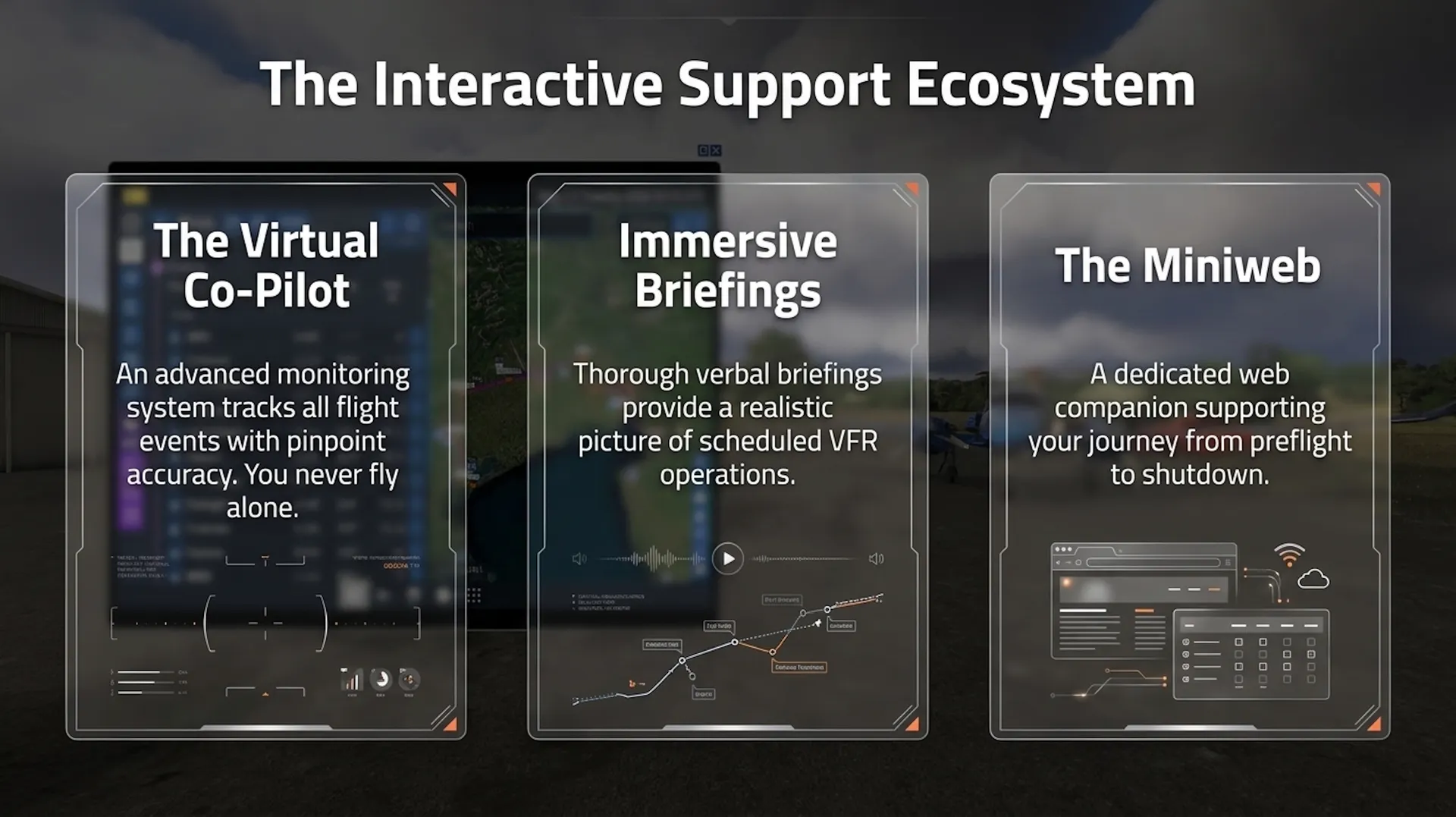
■ 12 VRF Flights - Navigation is entirely visual but each mission is powered by an advanced monitoring system that tracks any flight events and responds with pinpoint accuracy. A Co-pilot will be at your disposal, so you’ll never feel like you’re flying alone.
■ In addition to the verbal information for each waypoint, each mission includes a thorough spoken briefing designed to give you an authentic picture of VFR operations.
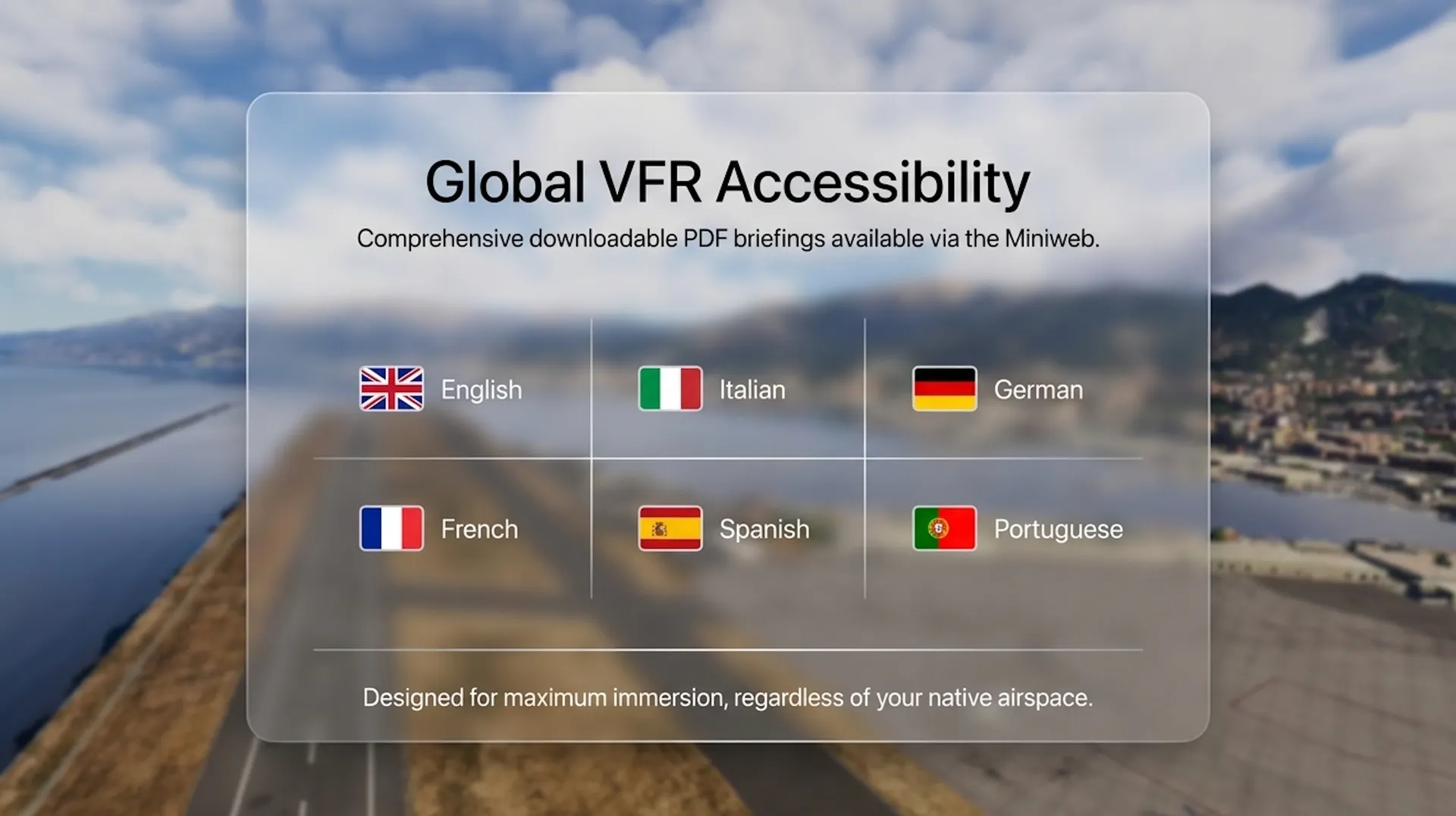
■ Briefings available in English, Italian, German, French, Spanish and Portuguese language as downloadable PDFs via Miniweb
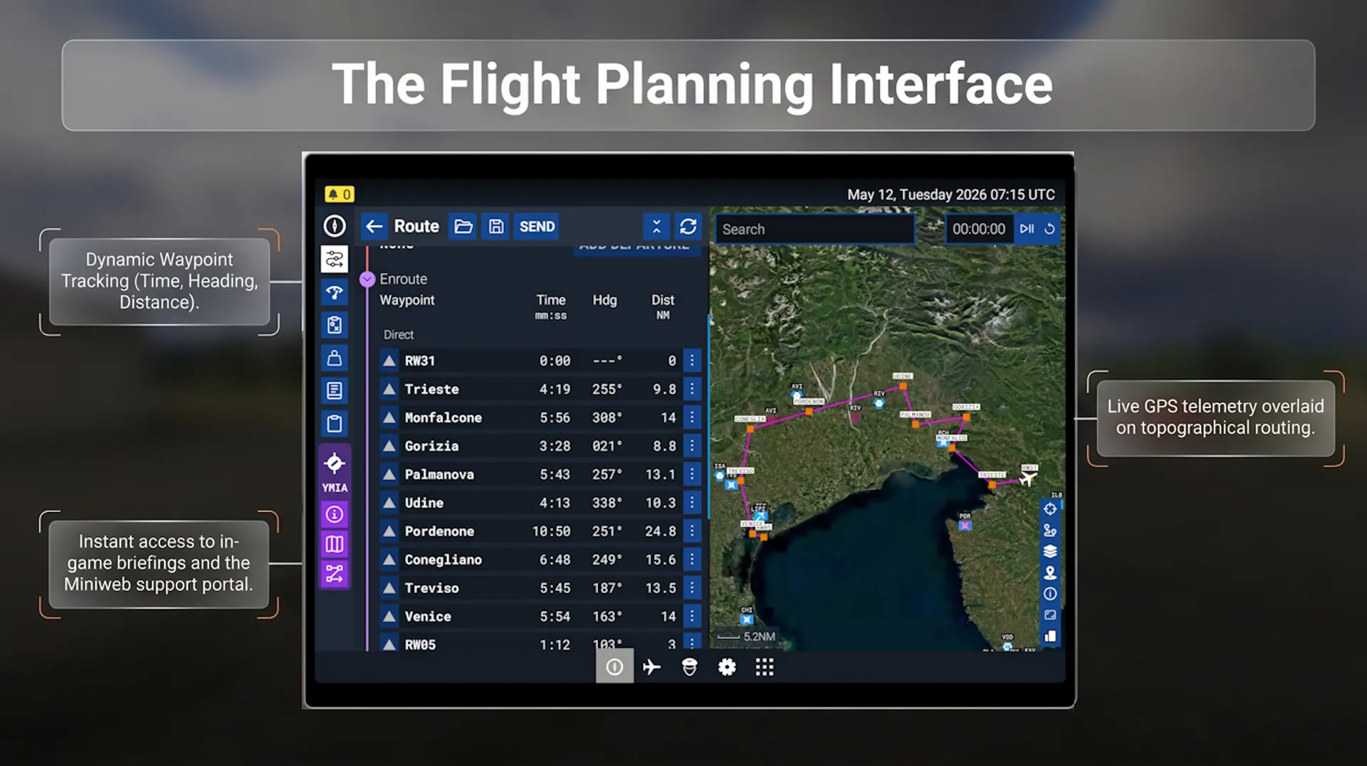
■ Dedicated Miniweb – Interactive Mission Companion – Realism is further extended outside the cockpit via a dedicated "Miniweb" interactive website. This tool supports the entire operational cycle from preflight to shutdown, combining modern web technology with aviation authenticity to simulate real-world pilot preparation and execution.
- -> Use the Support Contact link or the Ingame Briefing to access the Mini Website
© 2026, Perfect Flight
Credits: Mission Creator: Marco Martini Graphic Artist: Mike Martini Narrative Designer: Luis Cerutti