RN25 Twentyfive Mile / RNLL Limber Lake Airstrip
Emerald Scenery Design
ALASKABUSHBACKCOUNTRYUNITED STATESPACK- USD 11.99
- View more offers at FS Addon Compare
- Added: February 29, 2024
- Updated: April 7, 2025
IMPORTANT - LIBRARY REQUIRED! Emerald Object Library (Available for free here on Marketplace) is required for this scenery to display as intended! Not installing the library will result in most models not showing throughout the scenery. Emerald Object Library is our own in-house collection of static and dynamic models, materials, and VFX which allows us to push fixes for common assets across multiple products at once, as well as keep the required space of our addons to a minimum by eliminating duplicates in each project.
HAVING ISSUES? Please reach out to us before leaving a rating! Low ratings do not help us in any way to figure out and correct issues with our products. To do that, we have to know that an issue exists in the first place! You will find support links below for our Website, Discord, and PDF Documentation. Thank you for your support!
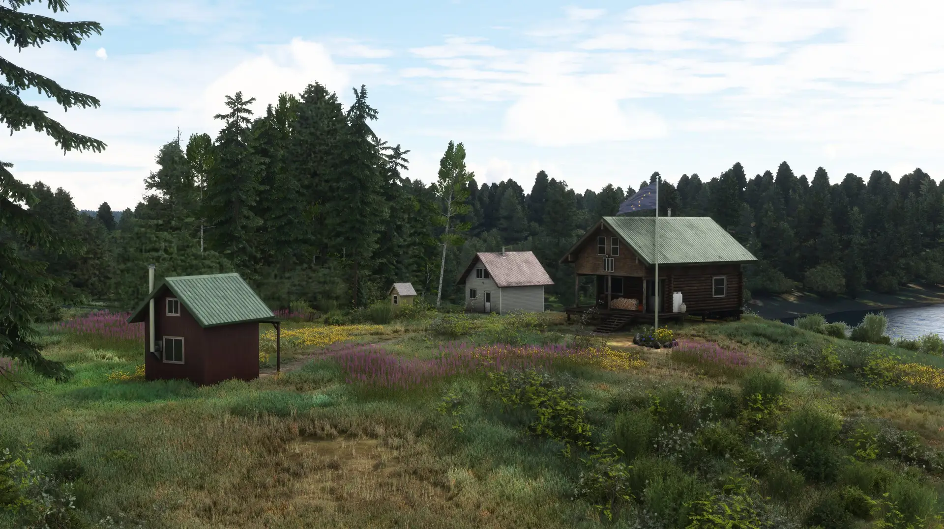
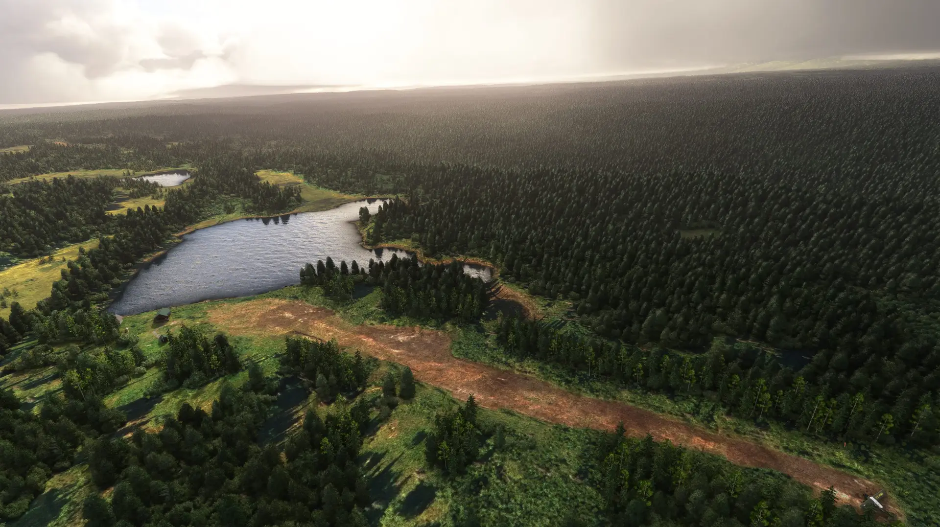
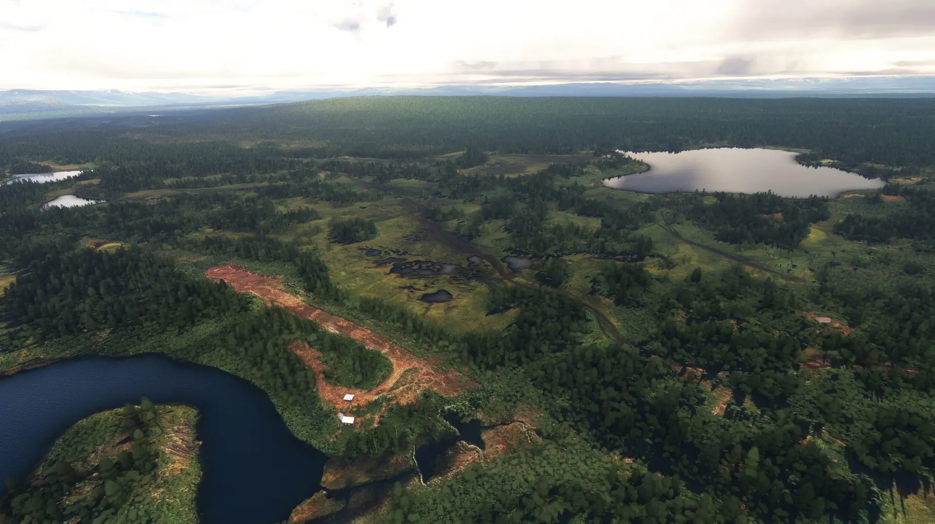
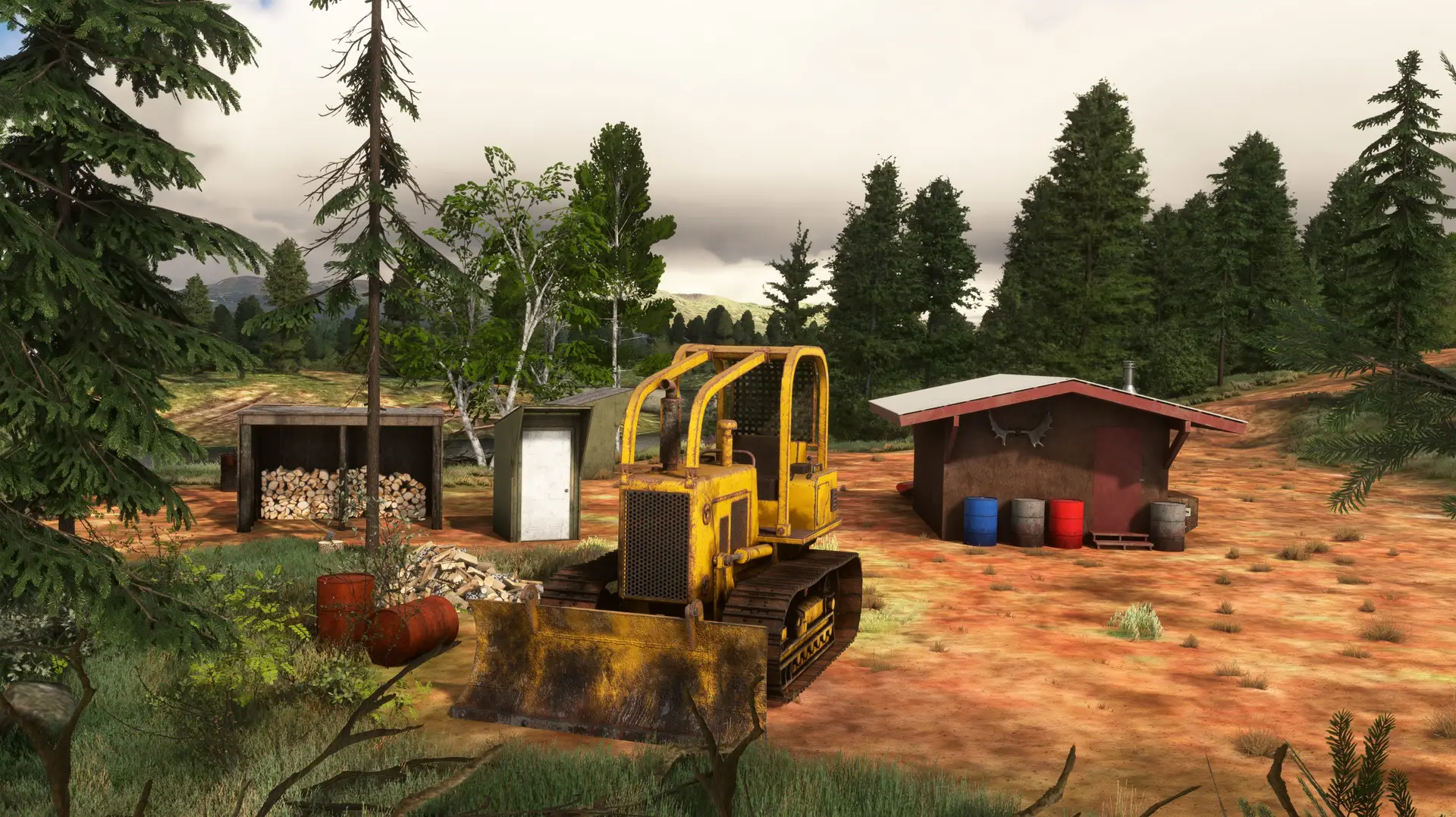
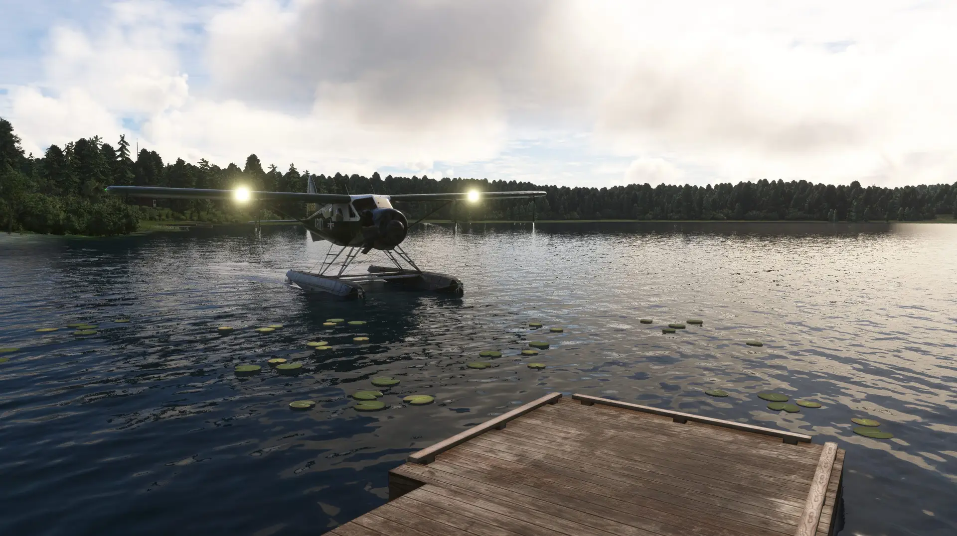
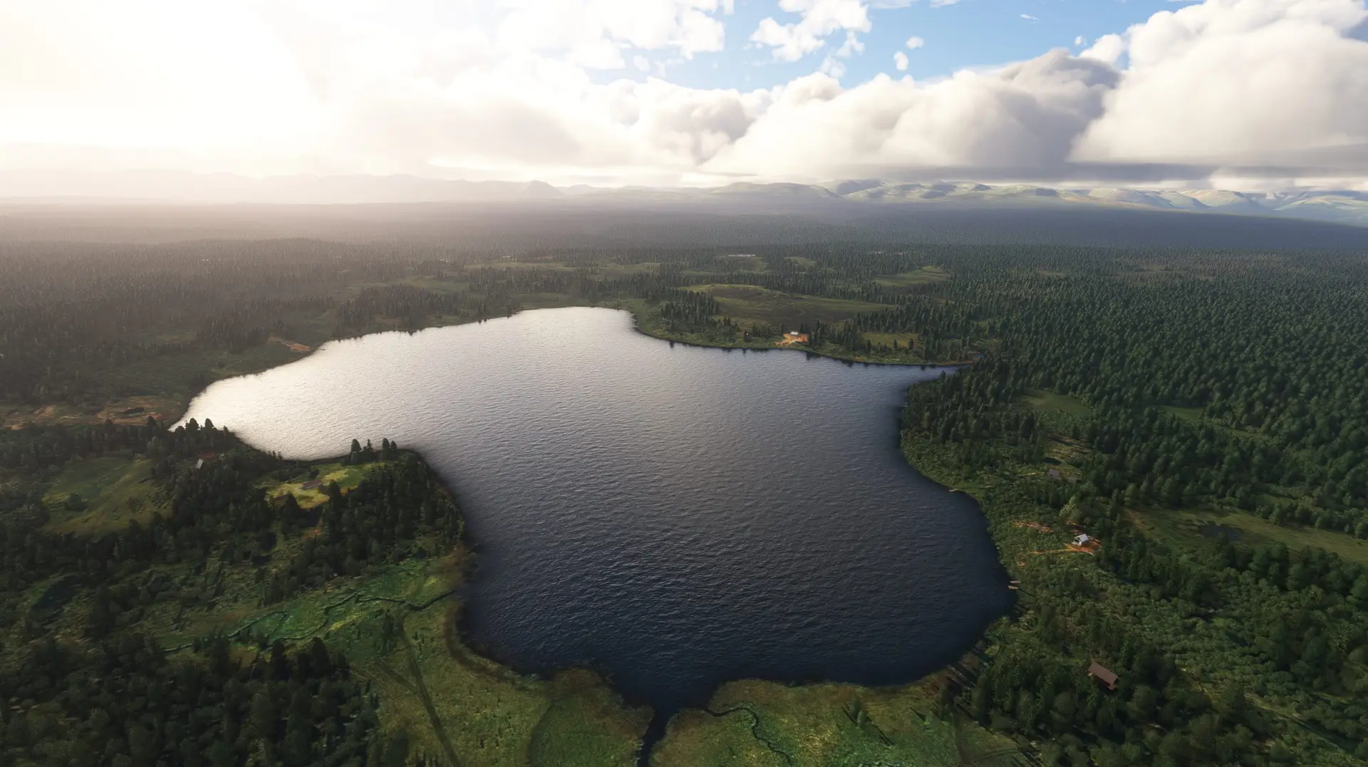
TWO AIRSTRIPS - ONE SCENERY Twentyfive Mile Lake & Limber Lake Airstrip have been brought to life in incredible detail, with a heavy focus on environmentals and dynamic features! Both airstrips are just 1 mi (1.6 km) apart and 10.5 mi (16.9 km) from Emerald Scenery Design's previously released payware: Fort Crosby.
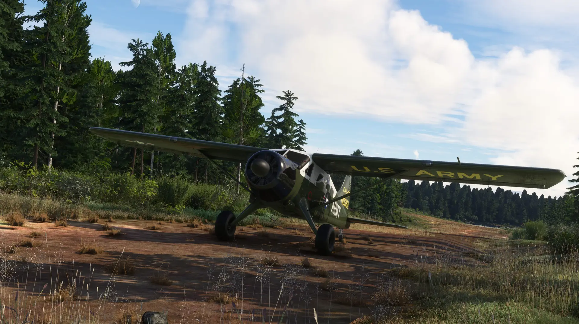
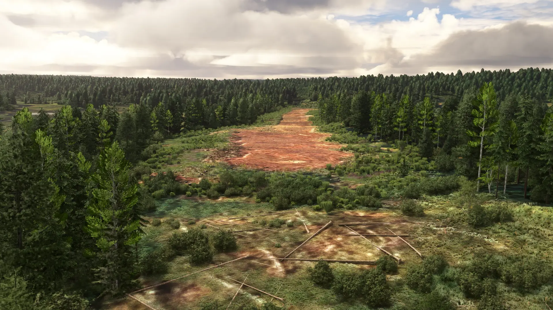
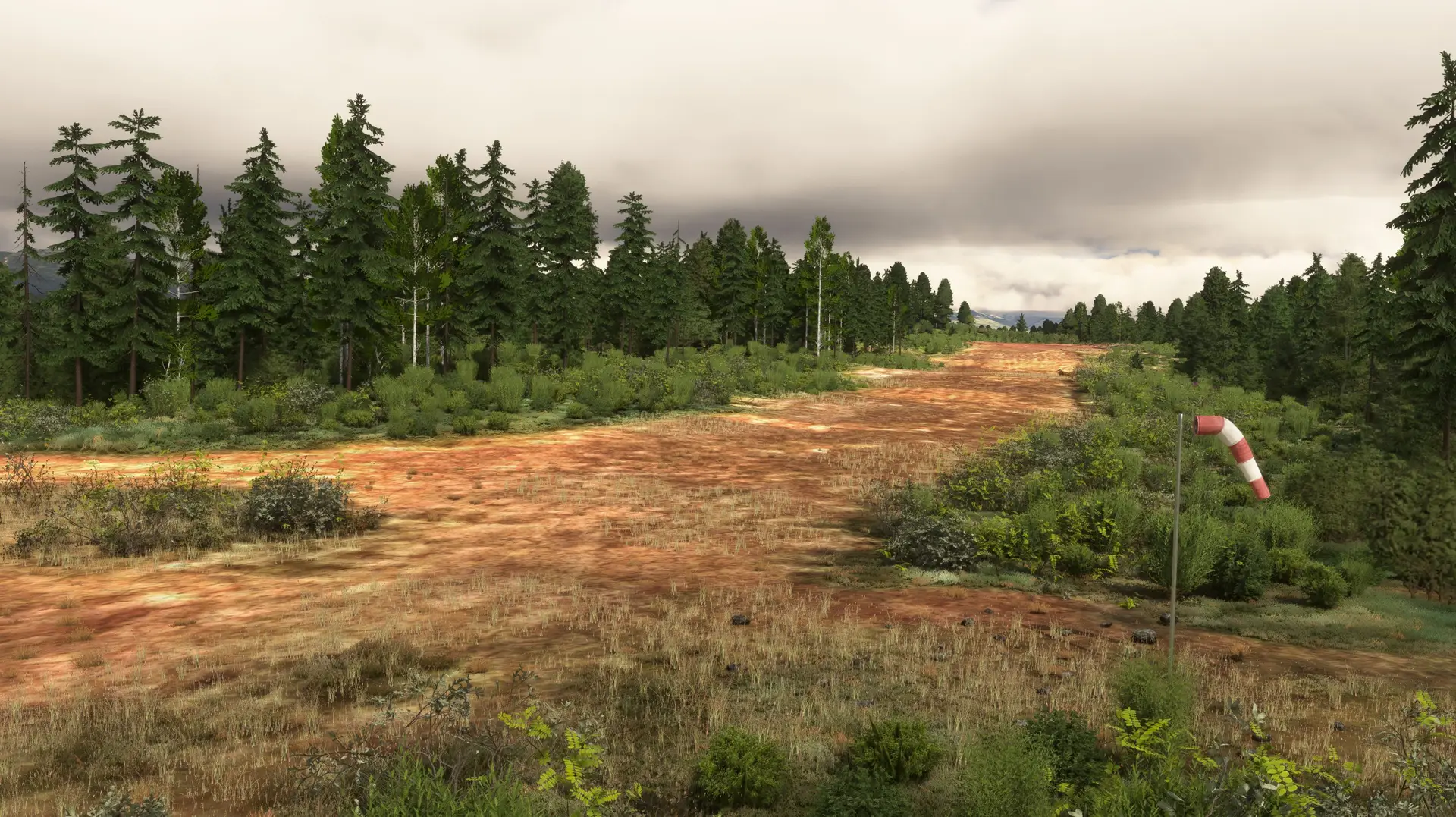
Twentyfive Mile Lake is the Northernmost airstrip in the 5.6 mi² (9 km²) coverage area. It has a single dirt runway with a generous slope starting on the Northern end. The runway has an approximate usable length of around 1020 ft (311 m) with no real obstacles besides slope, wildlife, and a drainage ditch on each side of the runway.
Limber Lake is the Southernmost airstrip. It has a single dirt runway with a decent slope and dip on the Northern end. The runway has an approximate usable length of around 1300 ft (396 m) with no real obstacles other than the slope and wildlife.
Approaches should be made from the South for both airstrips.
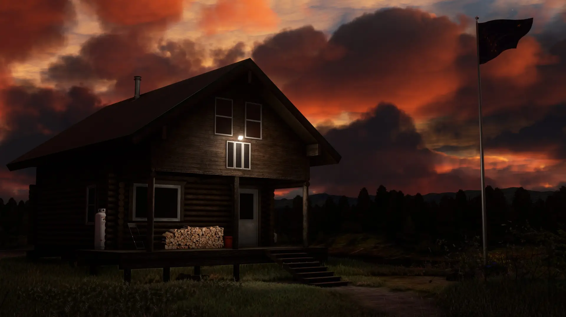
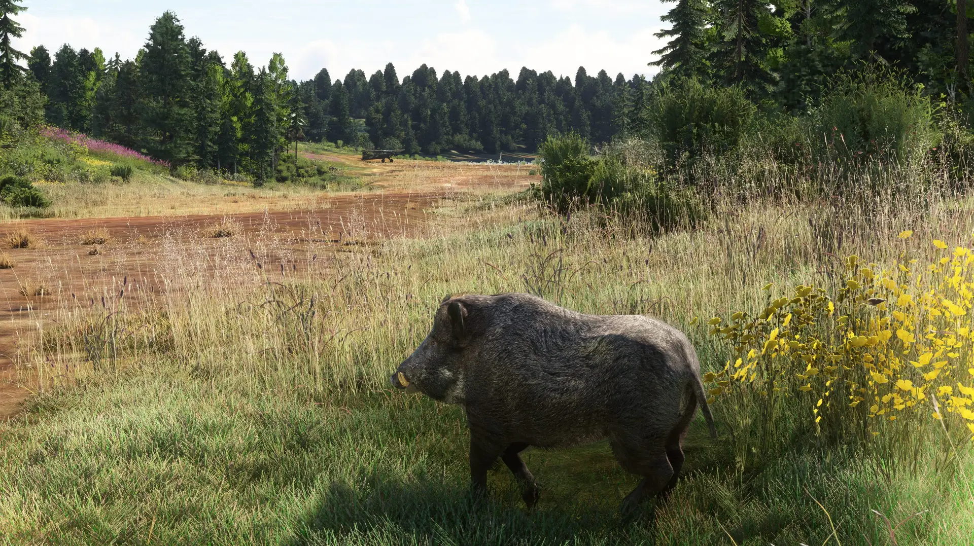
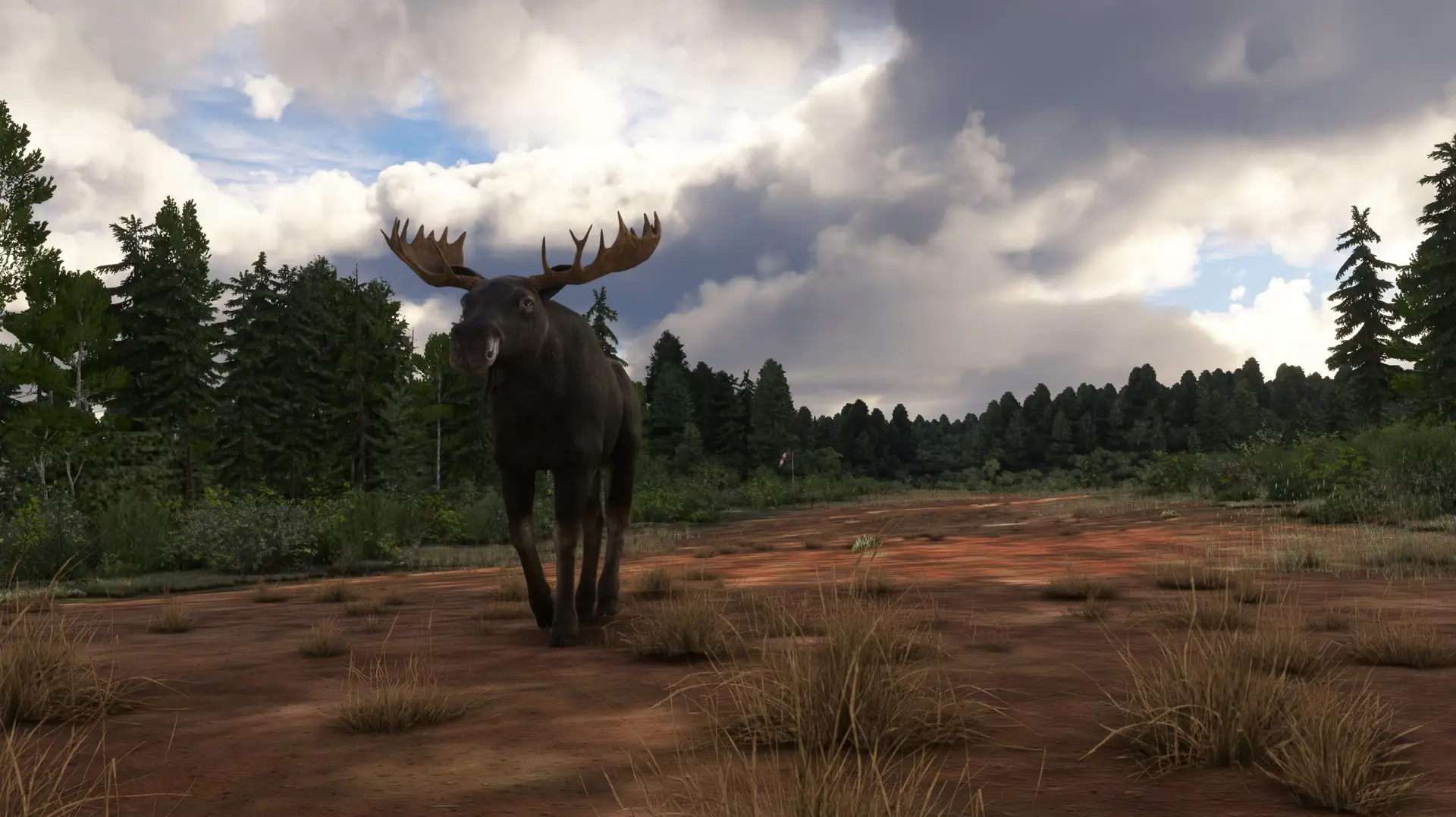
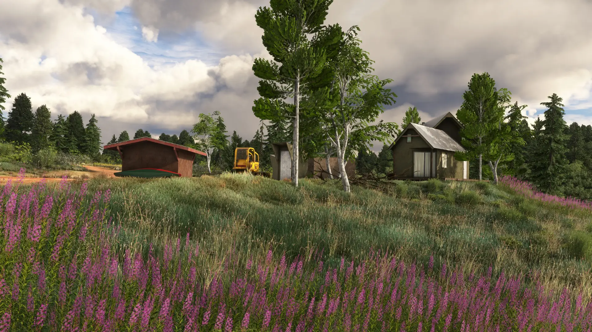
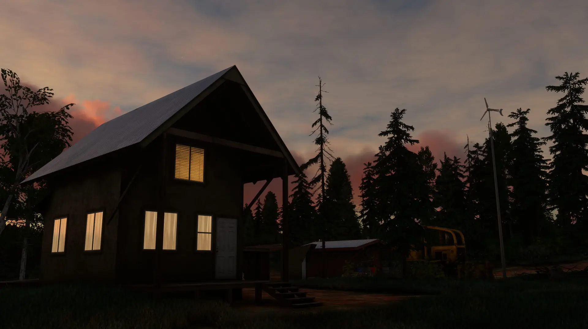
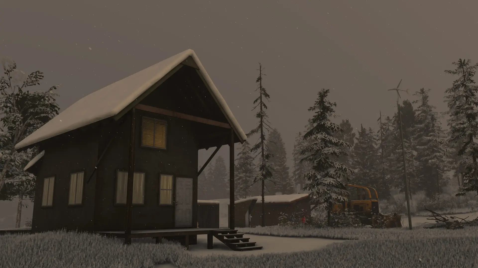
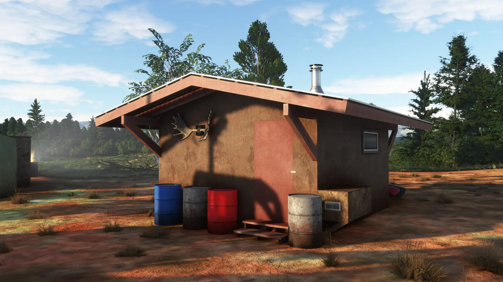
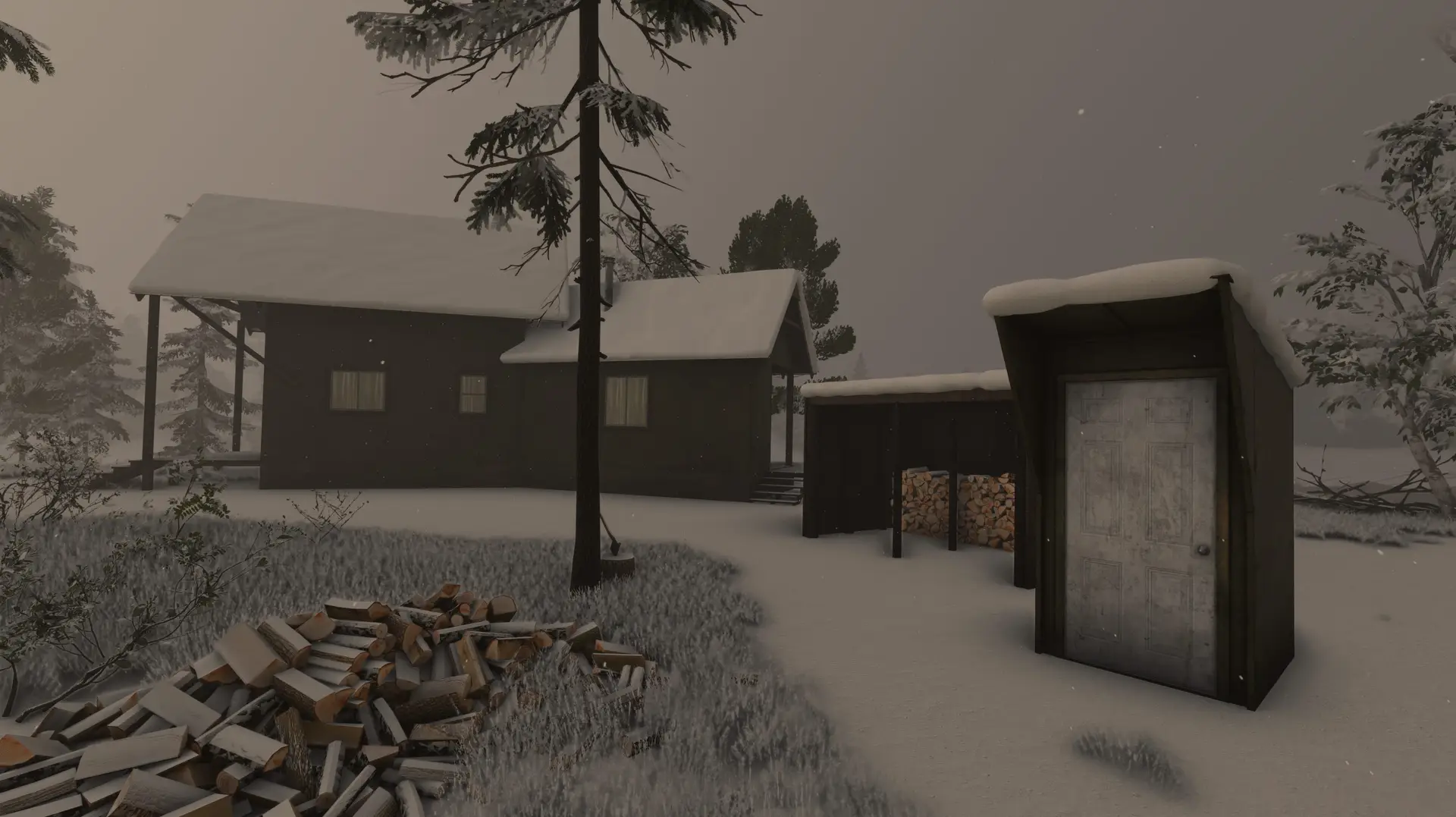
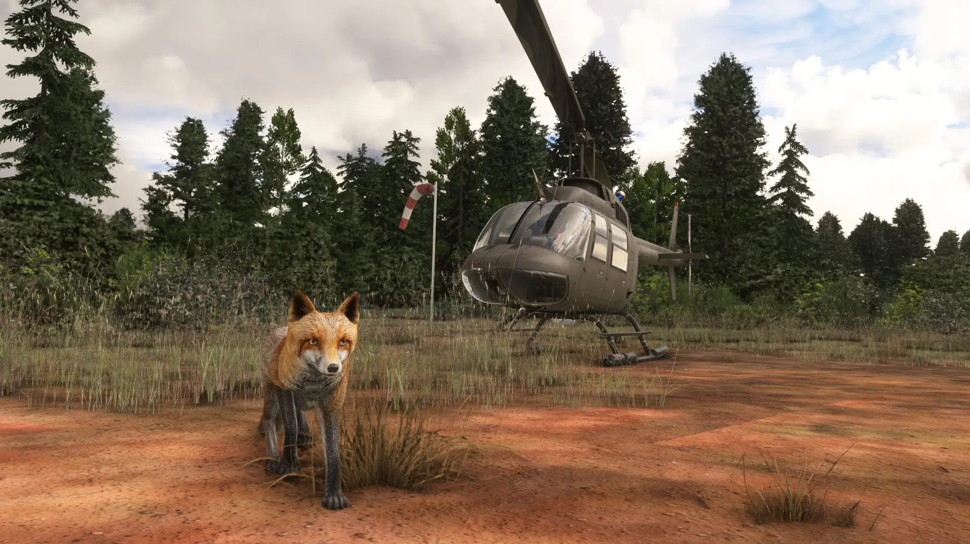
FEATURES ❖ Two highly detailed airstrips: Twentyfive Mile Lake (RN25) & Limber Lake (RNLL). ❖ A coverage area of 5.6 mi² (9 km²), including multiple custom Cabins with extra details throughout. ❖ All models use PBR textures, up to 4K resolution. ❖ Color-matched aerial imagery at 30cm/px. ❖ Hand-crafted terraforming up to 3m/px, and fully compatible with ORBX’s Alaska Mesh. ❖ Custom environmentals including Weeds, Wildflowers, Native Shrubs, 3D Trees, Rocks, and Logs. ❖ Custom animated wildlife: Bears, Fox, Moose, Wild Boar, & Wolf roam the coverage area. ❖ Dynamic SFX using Wwise.
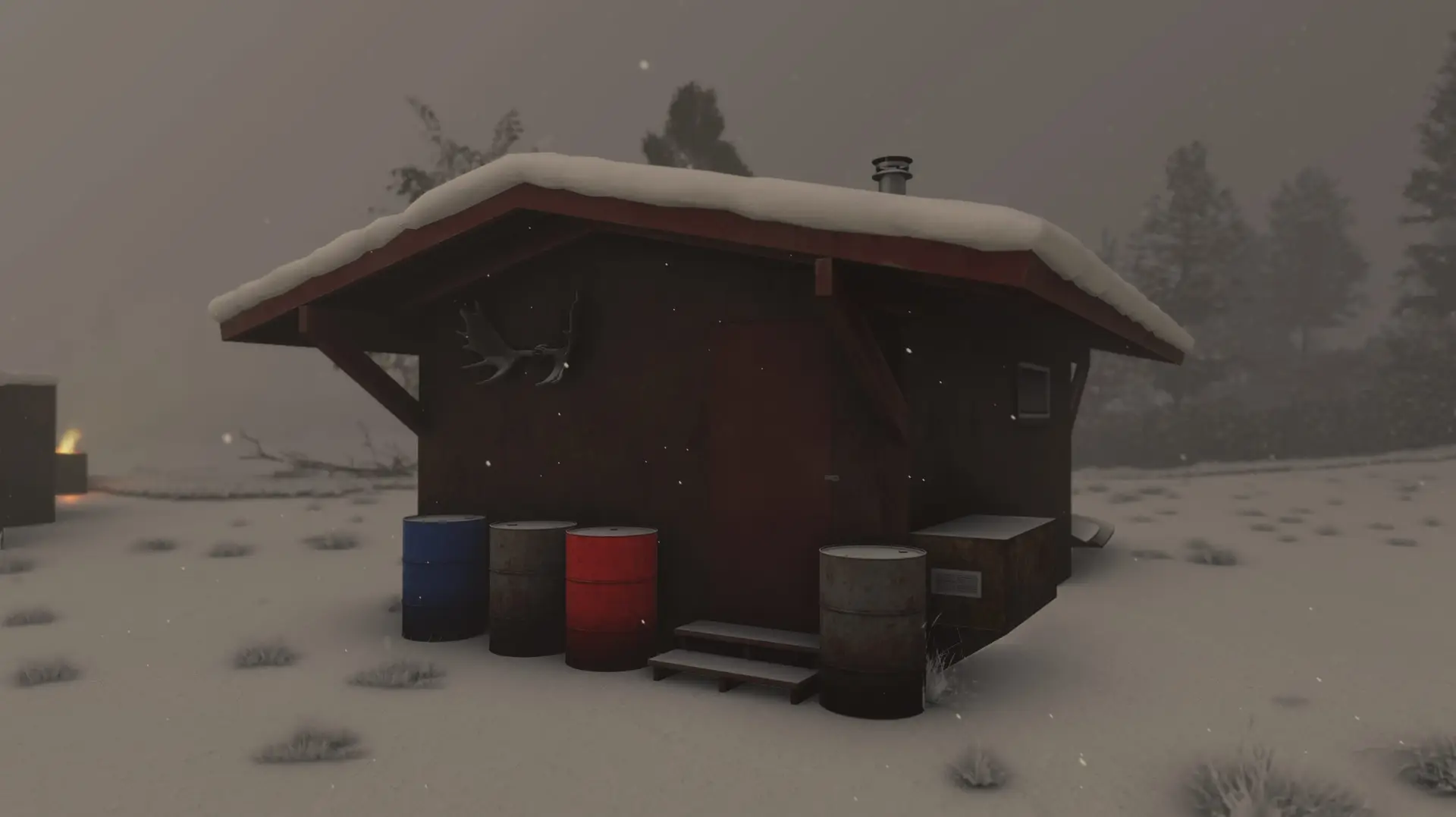
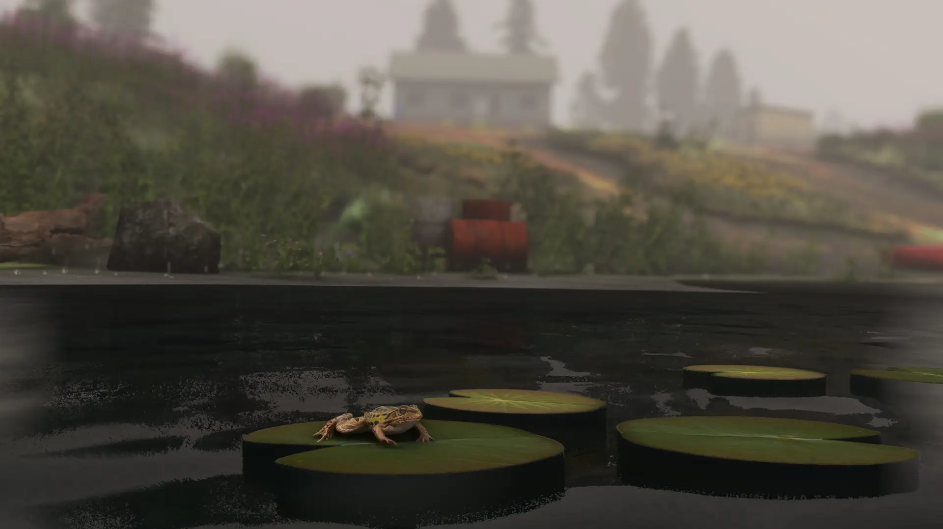
DYNAMIC FEATURES ❖ Bears - Can be found roaming the scenery. Will go into hibernation when temperatures fall below freezing. ❖ Birds SFX (Downy Woodpecker, Fox Sparrow, Great Horned Owl, Woodpecker) - Not audible when Rain or Snow is reported. Woodpecker randomly switches between call and drumming sounds. See documentation for more info on when they can be heard! ❖ Butterflies - Visible around flowers from May through September. Includes 4 different Alaska native variations! Will not show when Rain or Snow is reported. ❖ Fox - Roams around the Limber Lake airstrip. Will play a Wwise SFX call roughly every 6 minutes. ❖ Frogs - Can be found around the Safari Lake shore. Appears when Rain has been reported in the area. ❖ Wolf - Will pass in front of the Log Cabin and cross the runway at Twentyfive Mile Lake. Changes to a winter coat when temperatures fall below freezing. ❖ Rain Puddles - Appear at both airstrips when Rain has been reported in the area. ❖ Roof Snow - 3D Snow will appear on airstrip building roofs when snow depth has been reported on the ground. ❖ VFX - Smoke and Campfire VFX will appear throughout the scenery once temperatures fall to 50°F (10°C) or below. ❖ Windsocks/Flag/Wind Turbine - Will change orientation and animation based on Wind speed and direction.
