- USD 12.99
- View more offers at FS Addon Compare
- Added: June 27, 2024
- Updated: July 24, 2026
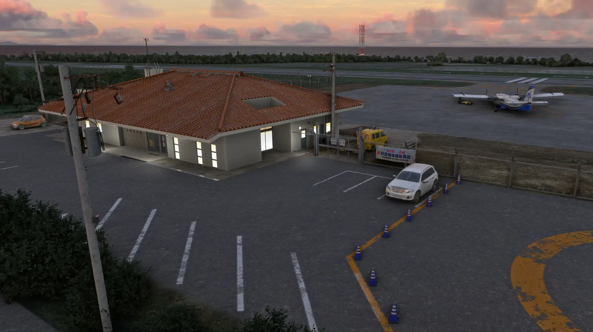
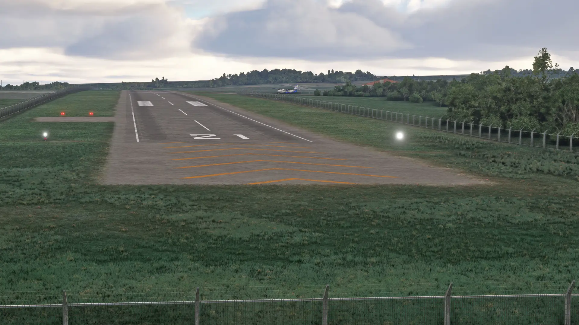
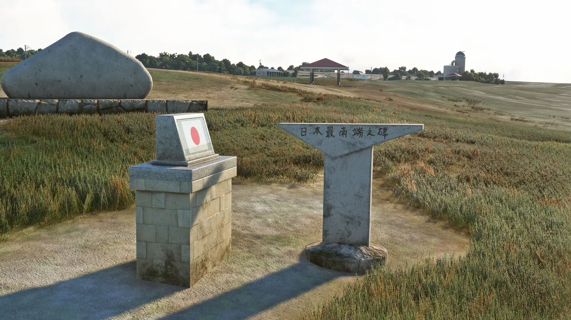
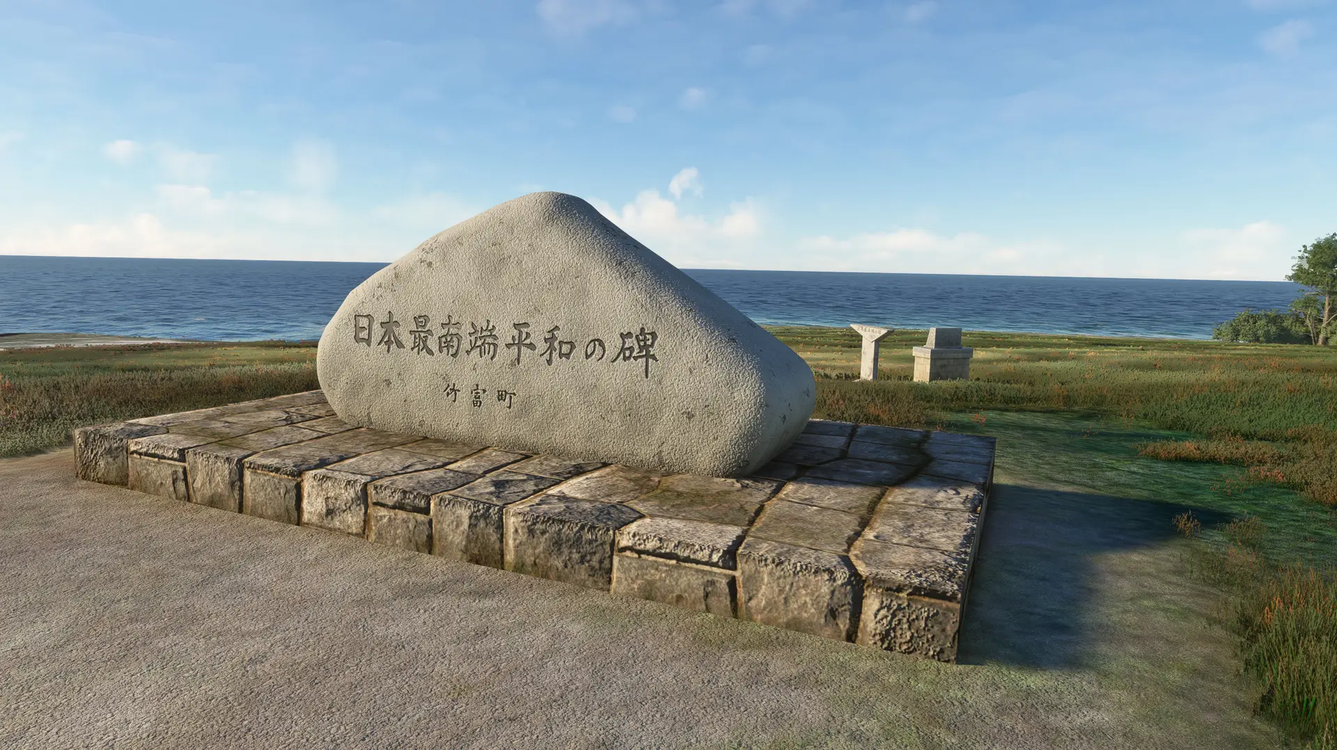
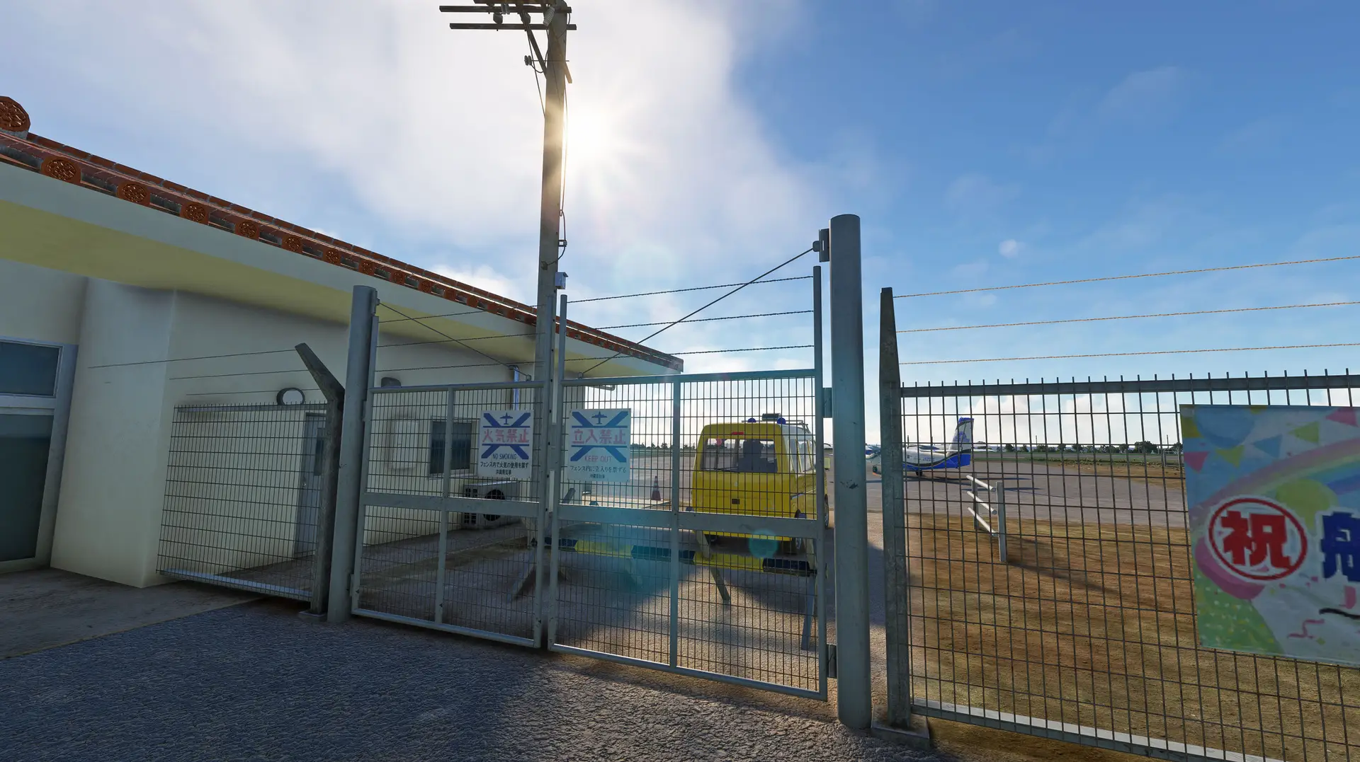
Hateruma Airport (IATA: HTR; ICAO: RORH), the southernmost airport of Japan, sites at Hateruma Island of Yaeyama archipelago. Traditional hand-made brown sugar and the best coastal scenery are well known attractions of Hateruma Island. Hateruma Airport consists a 2625ft (800m) long runway. A small terminal covered by orange color Okinawan-style roofing tiles and guarded by Shisa (guardian lion) status was completed by year 2015. Starting from 2024, First Flying (ICAO: DAK) will provide scheduled services for the Hateruma-Ishigaki route that had been disconnecting for over 15 years by 19-seat DHC-6 Twin Otter commuter. Beside commercial airliner, The Japan Coast Guard utilizes this airport for emergency rescue missions. Helicopter tour also has been introduced lately to let tourists to experience such beautiful coral reefs scenery above the islands.
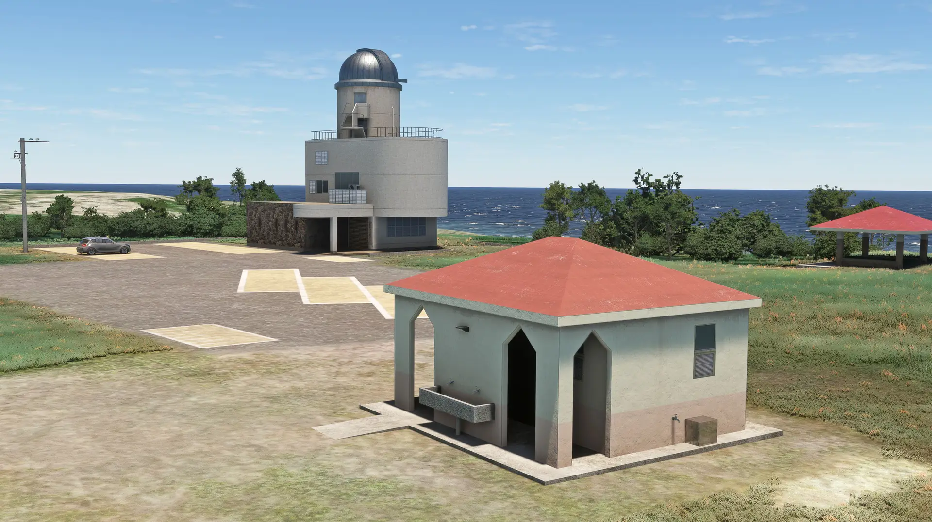
Including hand-made landmarks beside of airport:
- Hateruma Starry Sky Observation Tower
- Hateruma Earth Environment Monitoring Station
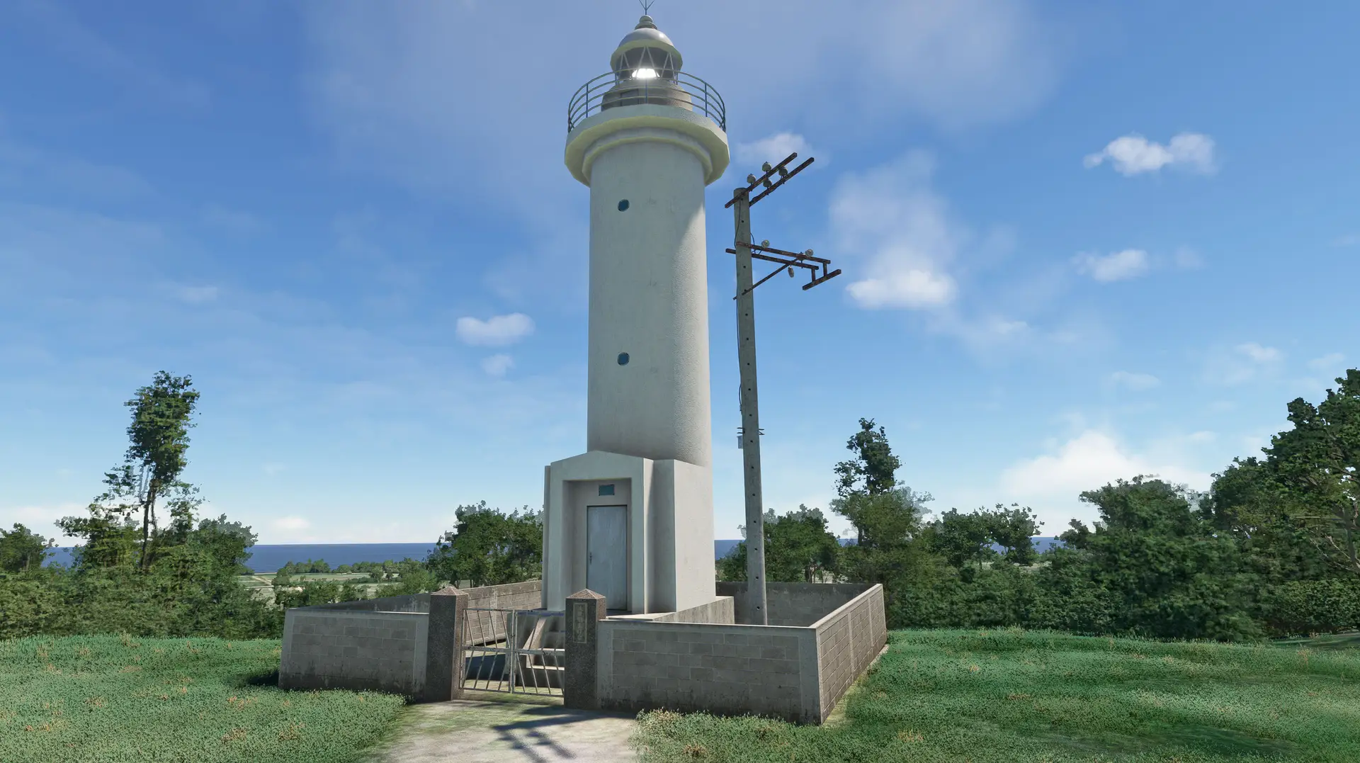
- Hateruma Island Lighthouse
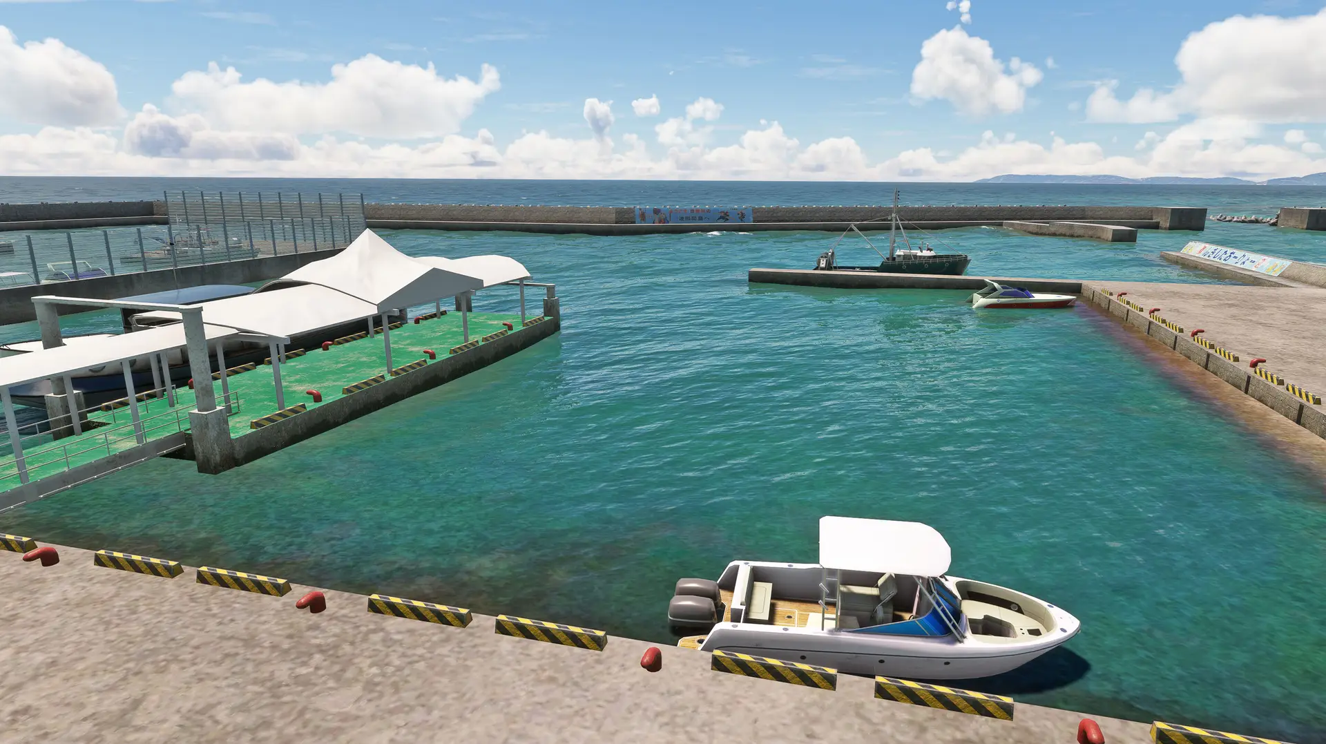
- Hateruma Port
Features: High-resolution details: Utilizes full-spec PBR texture mapping to achieve realistic lighting and shadow effects. High realism: Customizable Biomes definitions, buildings, vehicles, ground and road objects, lighting, fence and wind vane animations. Performance-friendly: Optimized LODs based on official guidelines to balance detail and performance.
Aerial images created by editing Geospatial Information Authority of Japan Tiles. Terrain mesh created by editing Geospatial Information Authority of Japan Digital Elevation Model.