- USD 14.99
- View more offers at FS Addon Compare
- Added: August 29, 2024
- Updated: July 24, 2026
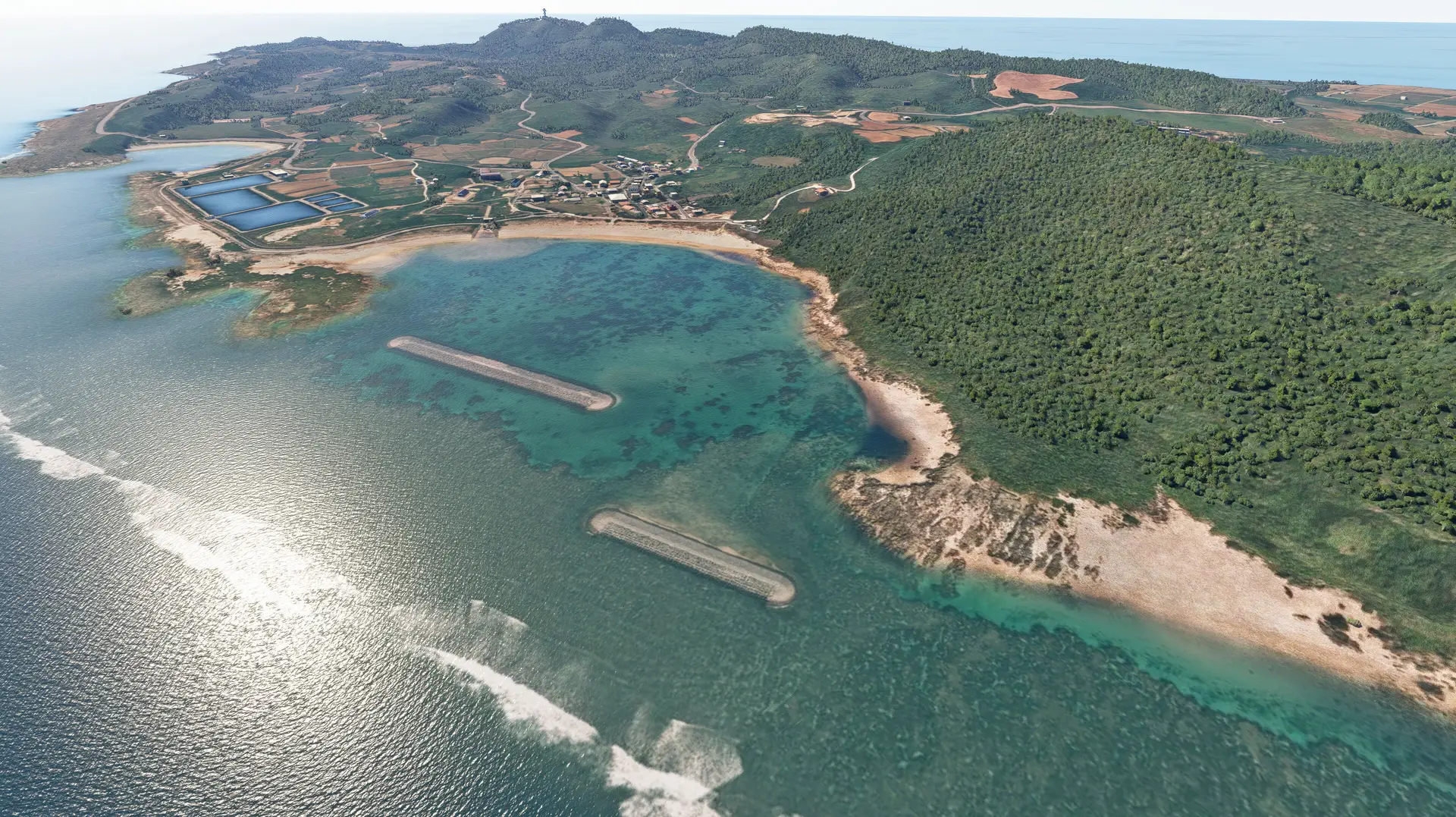
Yonaguni Airport (IATA: OGN; ICAO: ROYN), sitting on Yonaguni Island among the Yaeyama archipelago of Okinawa, is the westernmost airport in Japan, as well as the airport most close to Taiwan with only 108 kilometers away. Local residents, and therefore, are not only able to see Taiwan in a good weather, also receive Taiwanese TV channels as well. The magnificent man-mad looking underwater architectural structures (aka "Yonaguni Monument") and colorful ecology make the island a well-known diving resort. Fresh sea food and Hanazake, a unique distilled liquor produced only at Yonaguni Island, also populate food lovers' table.
Yonaguni Airport consists a 6,562 ft (2,000m) long runway, and currently, Ryukyu Air Commuter (RAC) uses De Havilland Dash 8 Q400 to provide scheduled flights to link Yonaguni to Ishigaki and Naha. The Japan Coast Guard and the Self-Defense Force also utilize this airport for emergency rescue and transportation missions.
Beside detail Yonaguni airport, this module also includes multiple local landmarks such as;
- Irizaki Lighthouse
- Kubura Port
- Sonai Port
- Agarizaki Lighthouse
- Dr. Koto Clinic
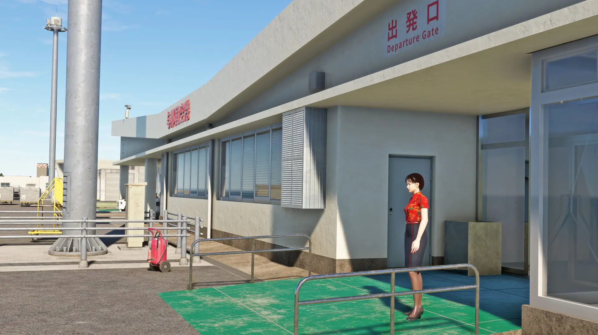
Features: High-resolution details: Utilizes full-spec PBR texture mapping to achieve realistic lighting and shadow effects. High realism: Customizable Biomes definitions, buildings, vehicles, ground and road objects, lighting, fence and wind vane animations. Performance-friendly: Optimized LODs in according with MSFS official guidelines to balance detail and performance.
Aerial images created by editing Geospatial Information Authority of Japan Tiles. Terrain mesh created by editing Geospatial Information Authority of Japan Digital Elevation Model.