- USD 6.49
- View more offers at FS Addon Compare
- Added: September 9, 2022
- Updated: February 20, 2026
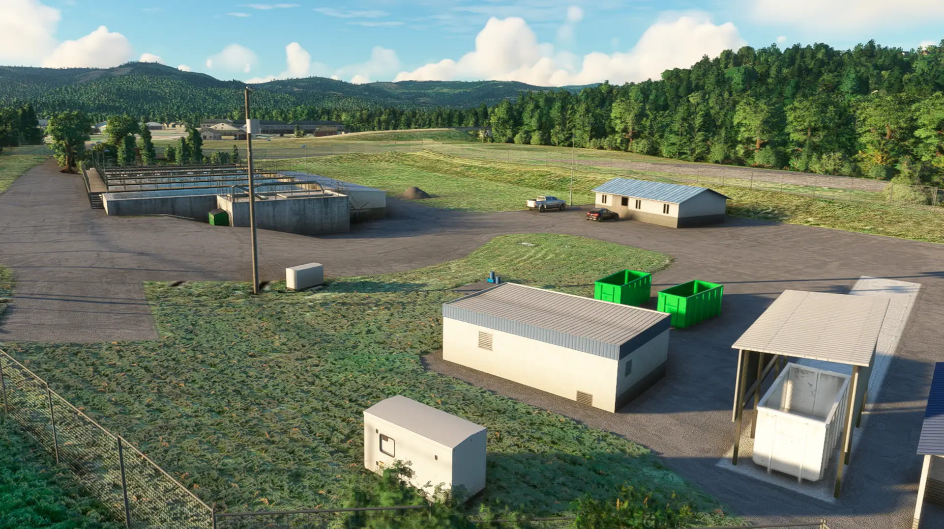
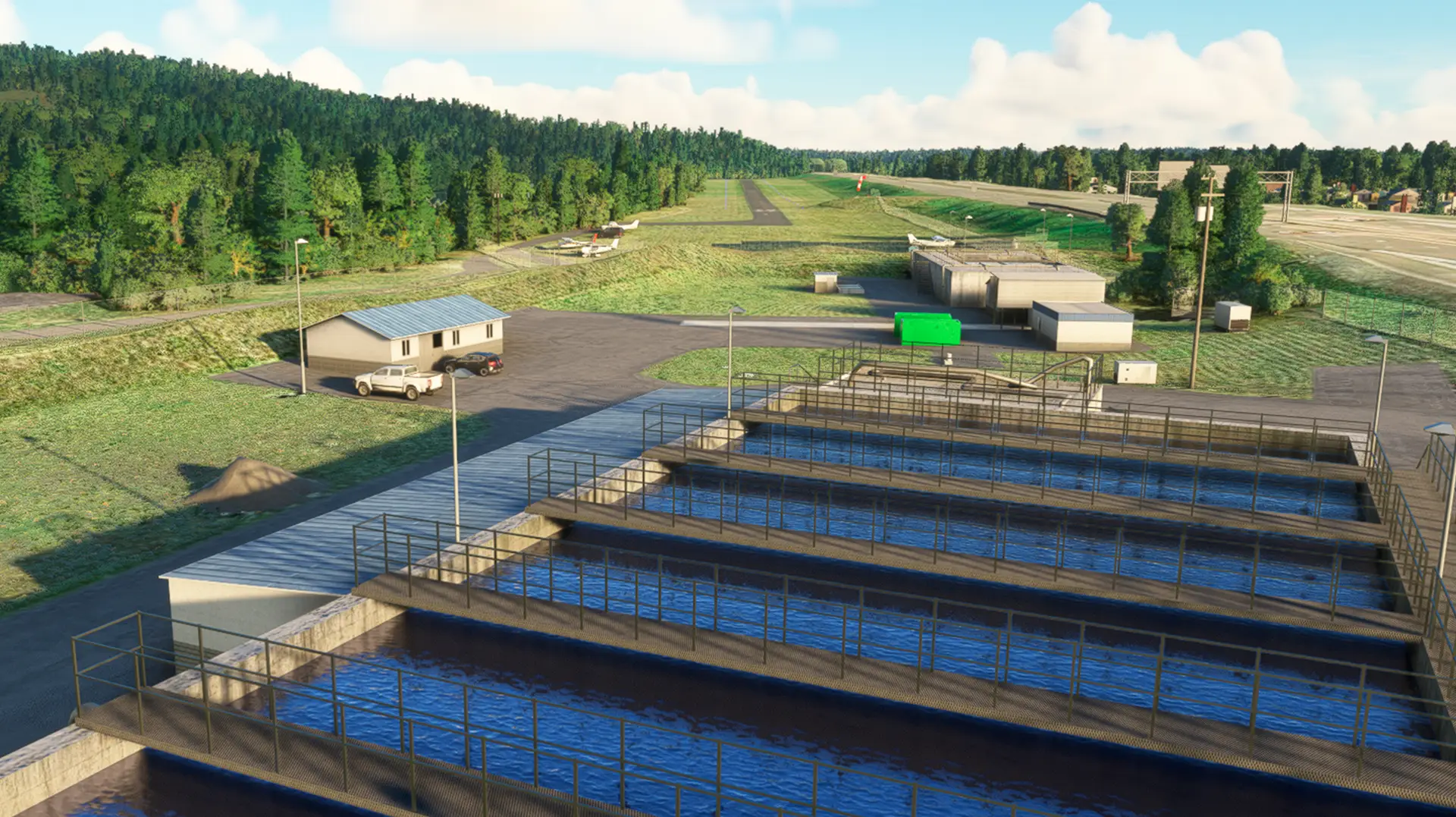
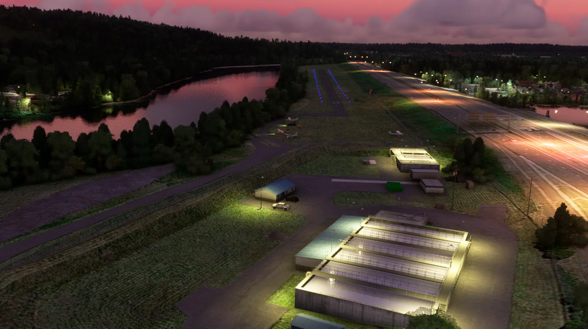
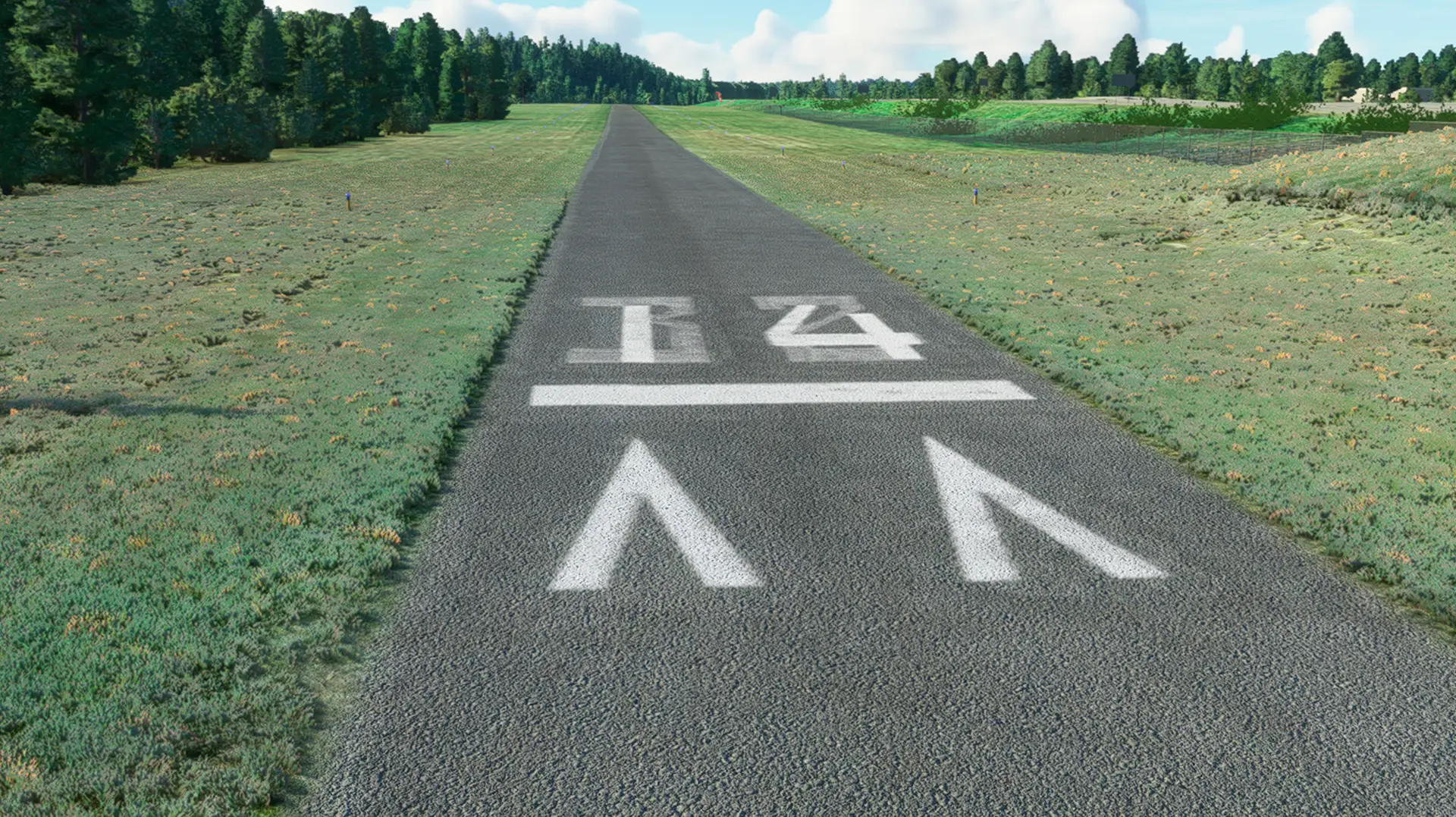
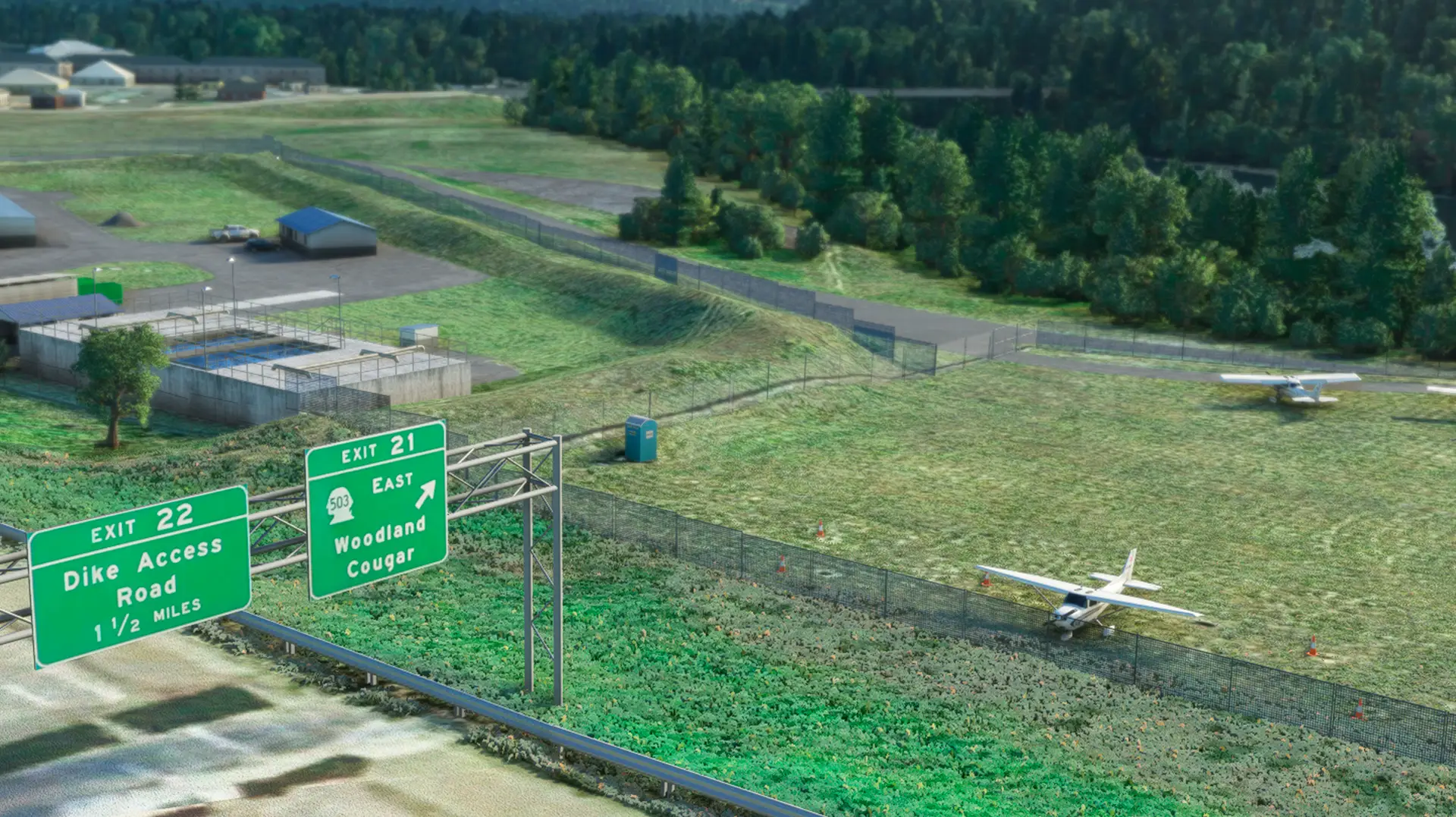
Midway between Kelso and Vancouver is an excellent example of a state airport turning into a community airport. Woodland's value is extremely hard to place, but must be considered high. In the last decade Woodland has gone from a little dirt and grass track, to a lighted, paved 1,953 foot asphalt strip. There are obstructing trees along the banks of the river to the east, and the Interstate and sign bridge is significantly higher than the airport on the west. The approach from the north contains powerlines, and the city sewer plant. The approach from the south has trees and a bridge. One caution: When there are strong winds from the east, the turbulence can be severe, and landing impossible. Overflight to check field conditions is recommended.
Features: Custom Hand Draw Sattelite imagery with Color Corrections for best blend of borders. Custom Hand Draw Mesh with real height data. Highly detailed, accurate representation of w27. 3d models surrouding area(Bridge, road signs, wastewater treatment complex. Afcad corrections. Custom markings with saving real details like two layers different numbers Pichinc zone available.
