- USD 9.49
- View more offers at FS Addon Compare
- Added: March 28, 2024
- Updated: July 22, 2026
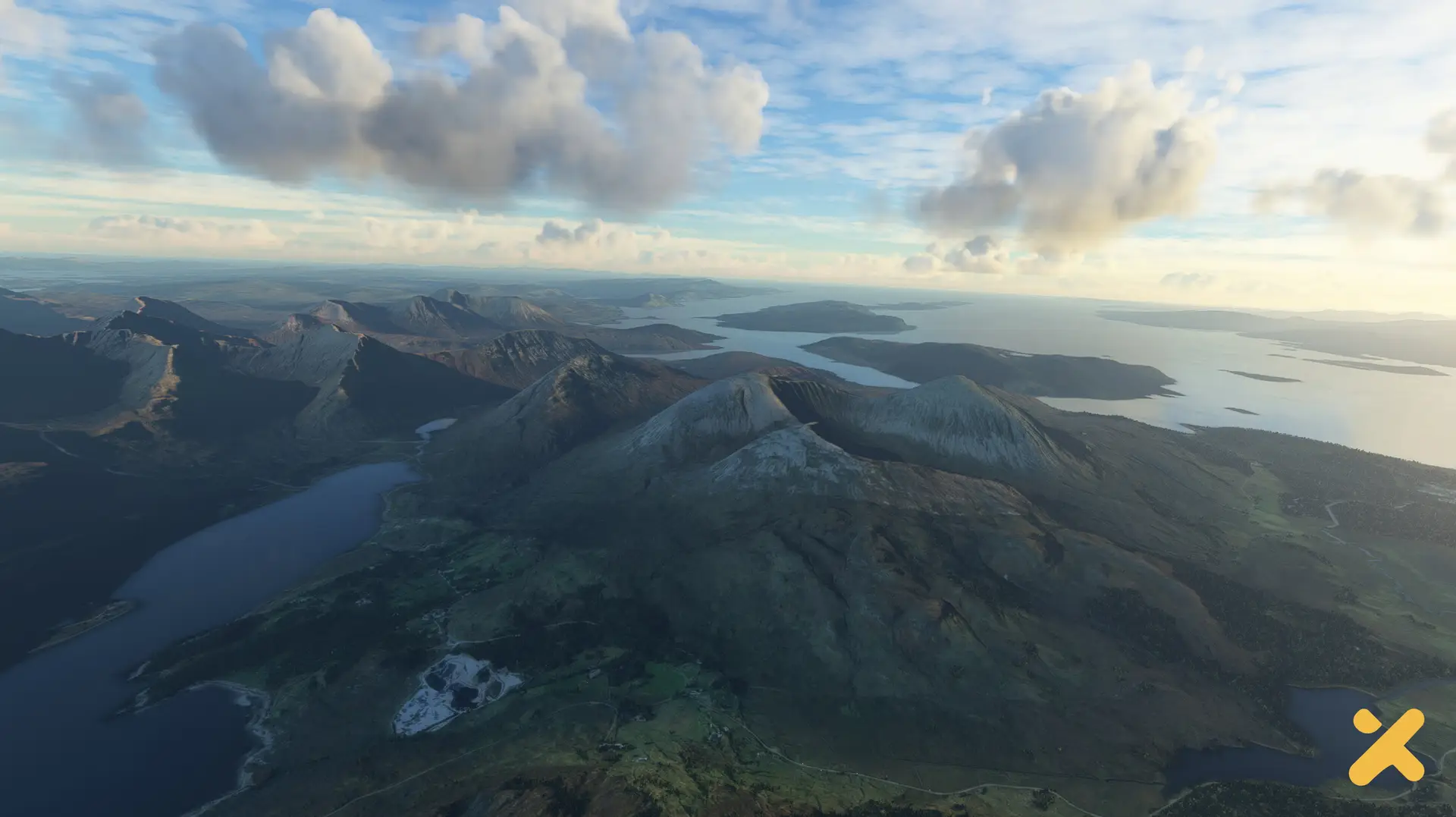
British Isles Mesh by Indie Developer, Dmytro Krykunov marks the sixth installment in our series of terrain enhancements, following the success of Iceland Mesh, NA Alaska Mesh, AS Himalaya and Central Asia Mesh, and SA Mesh. An in-depth analysis of the existing default elevation data across the entire coverage area has guided the development of this add-on. Additional high-resolution data were integrated to fill low-resolution areas of the default terrain mesh, and correct spikes and troughs along DEM grid sections. Ireland has had particular focus by crafting a new mesh from ALOS satellite DEM data. Leveraging innovative techniques, the terrain has been enhanced and has had over 200 locations added with a remarkable 2m/pix resolution. British Isles Mesh is a fully self-contained product with no changes made to the default mesh or any other files. With virtually no noticeable performance impact, each LOD is consistent without any blurring and minimal LOD morphing.