- USD 19.99
- View more offers at FS Addon Compare
- Added: August 24, 2023
- Updated: February 20, 2026
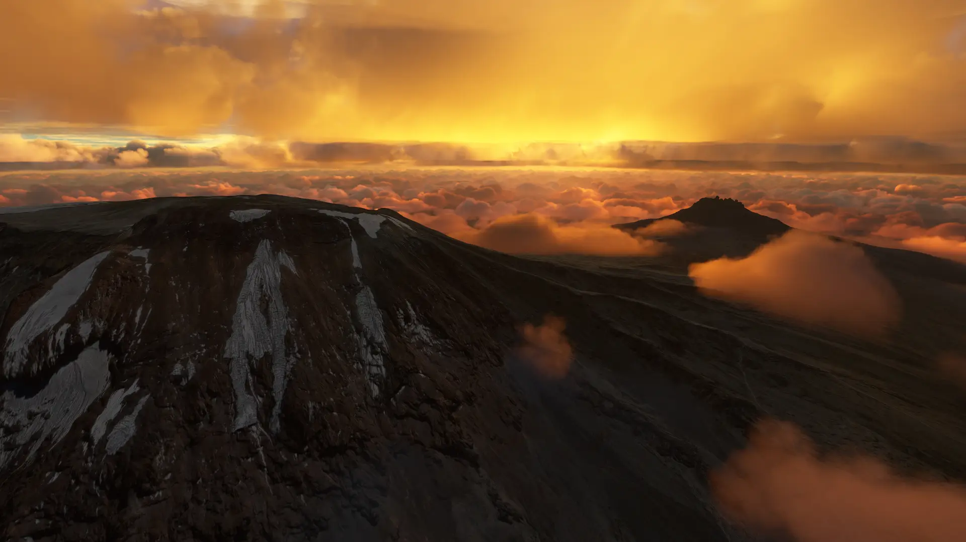
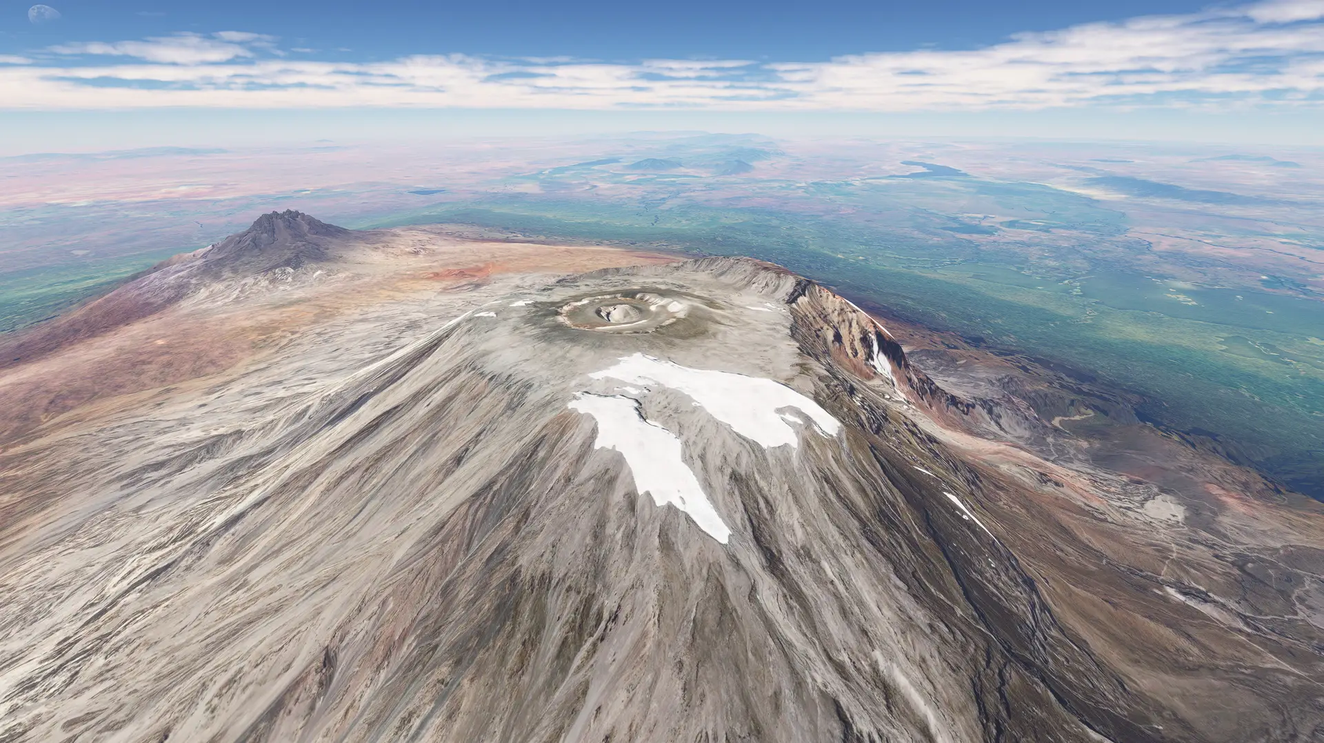
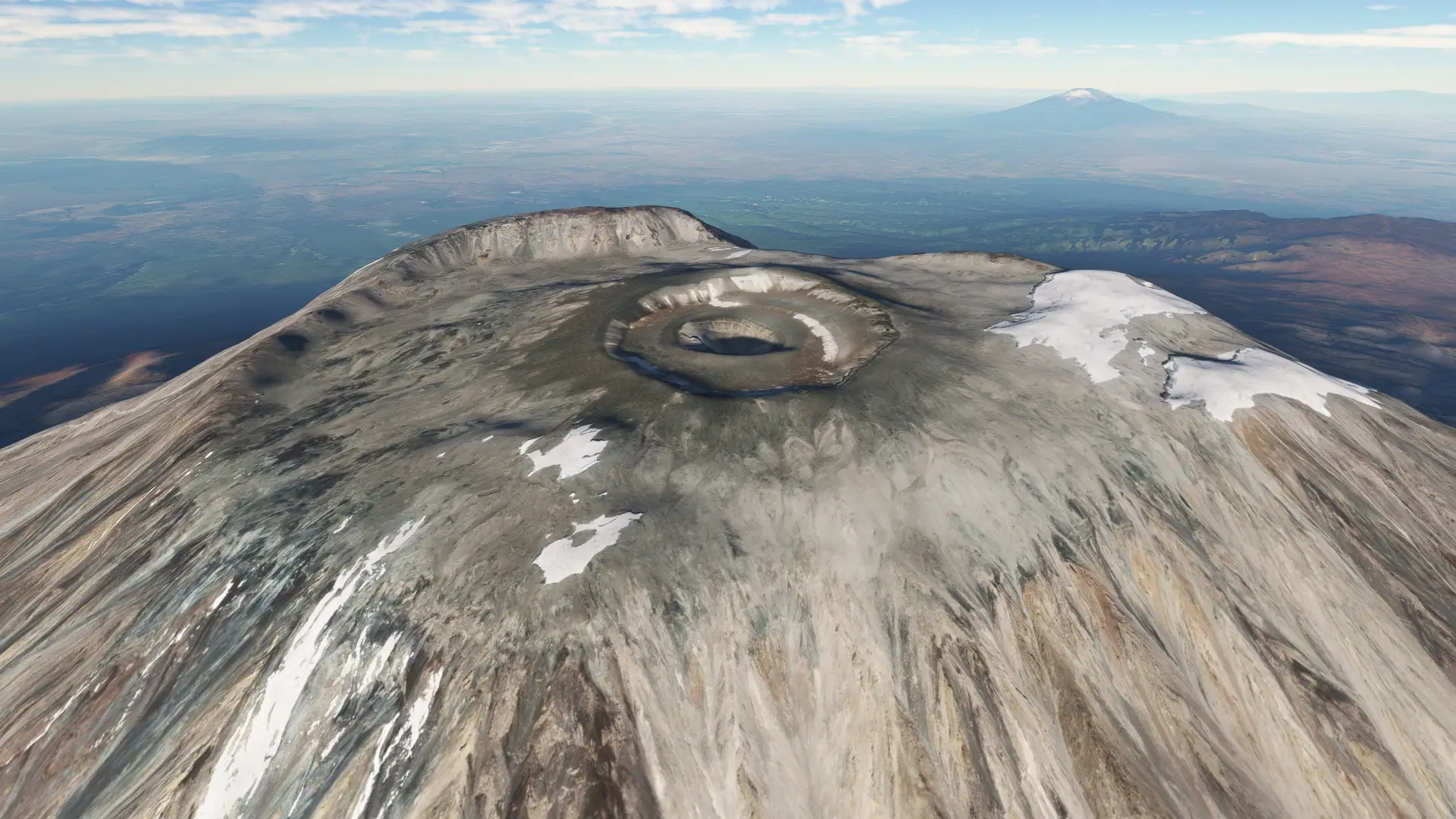
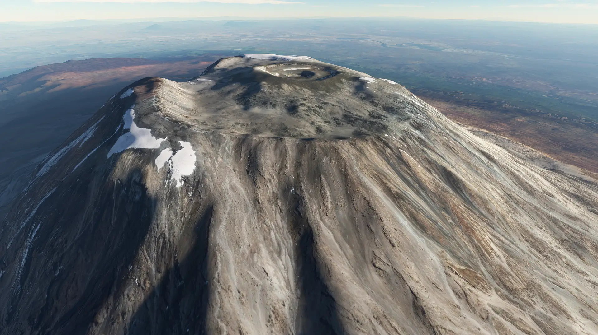
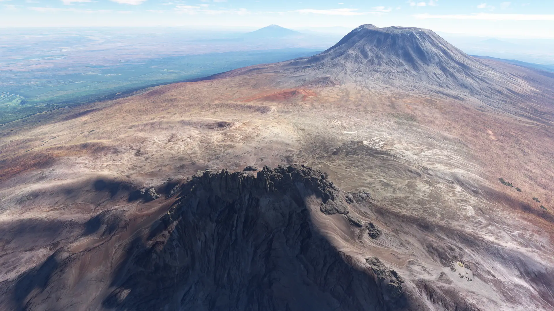
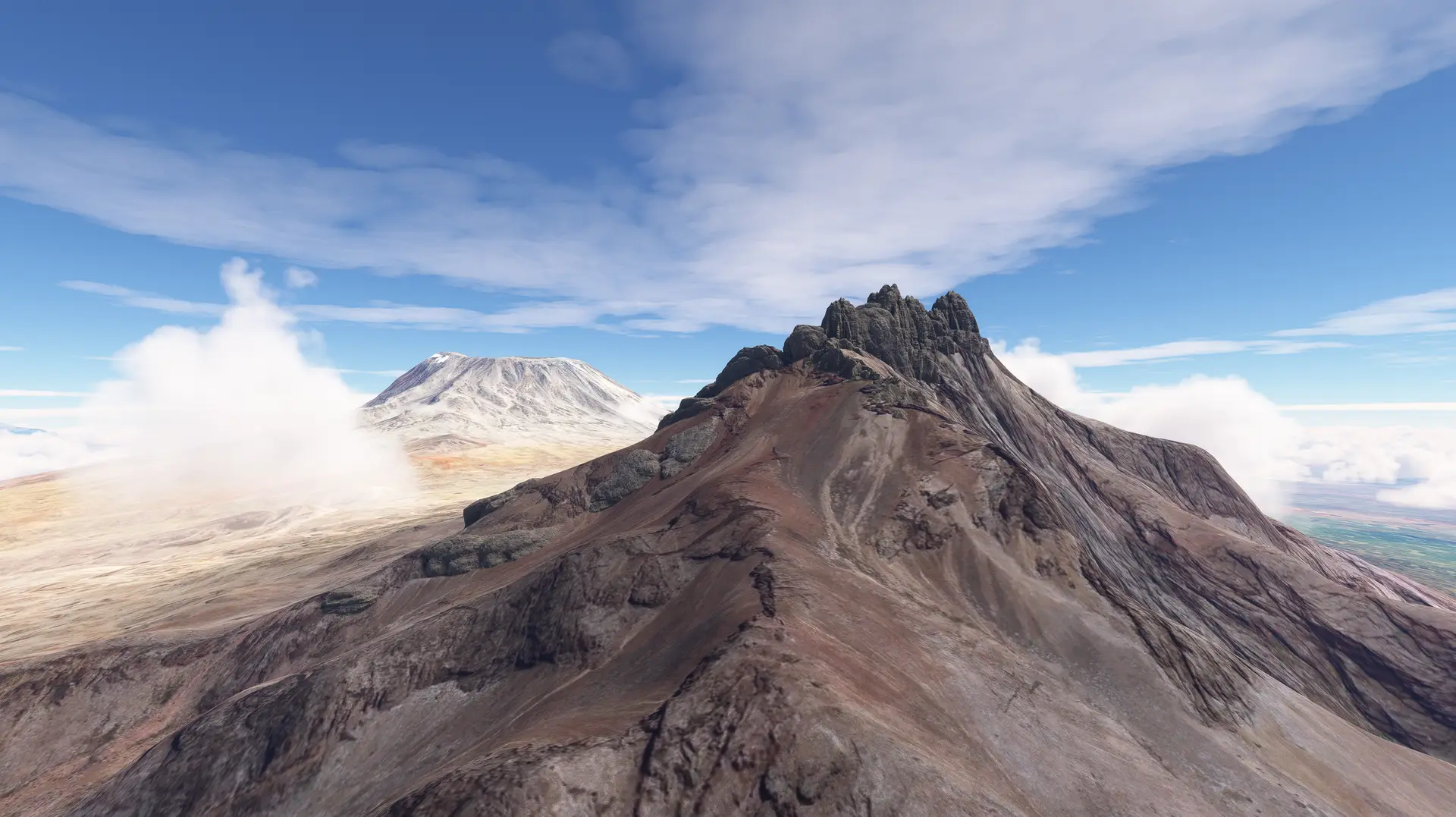
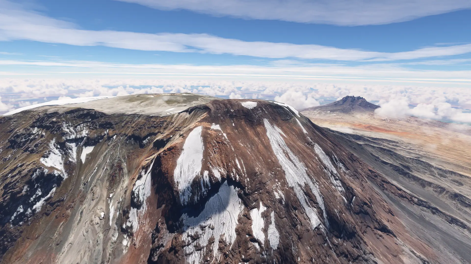
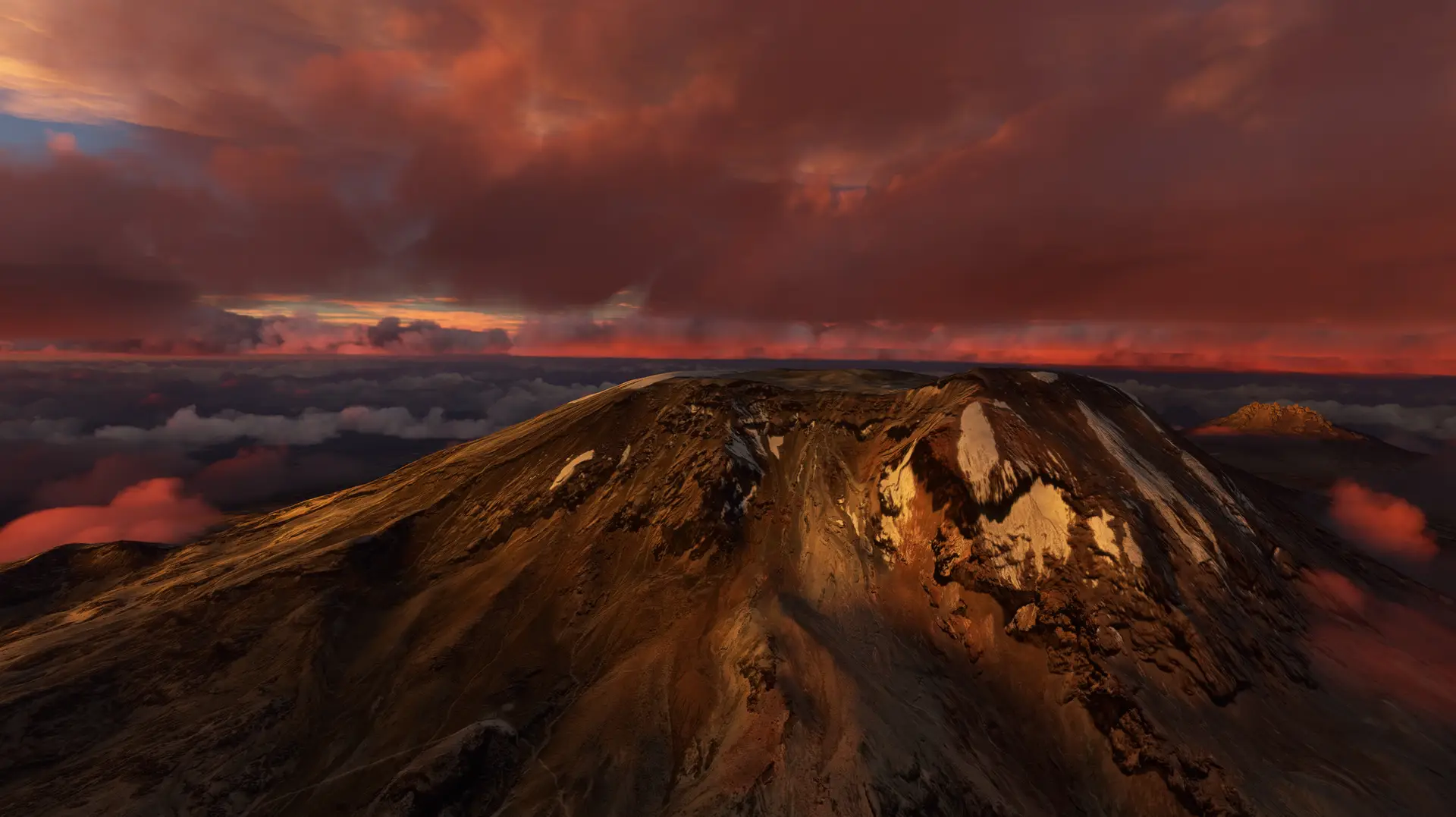
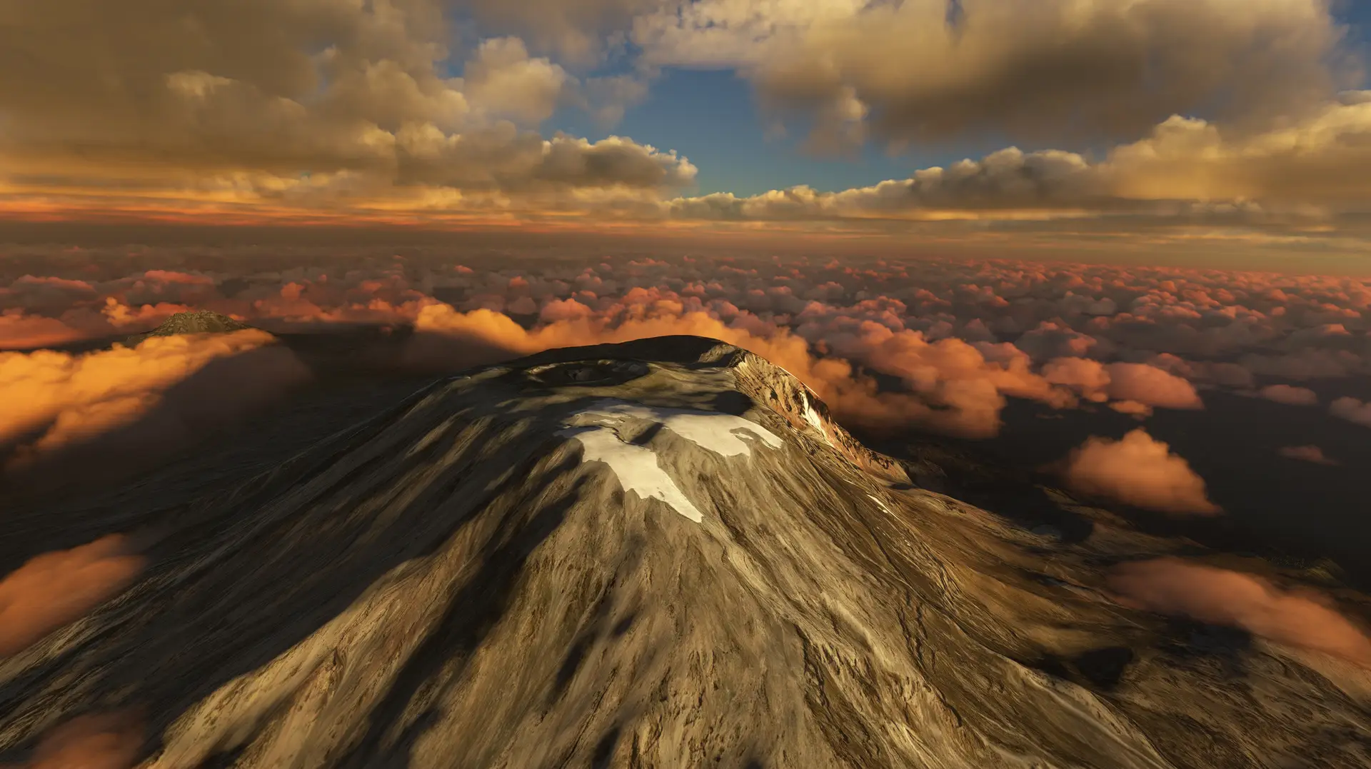
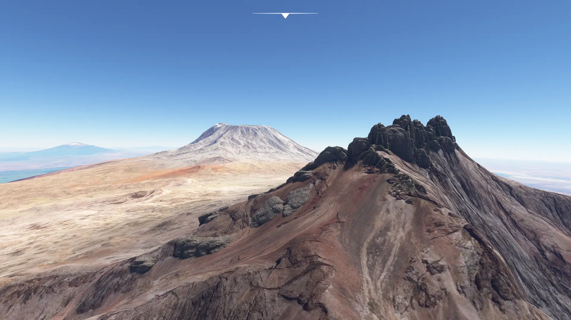
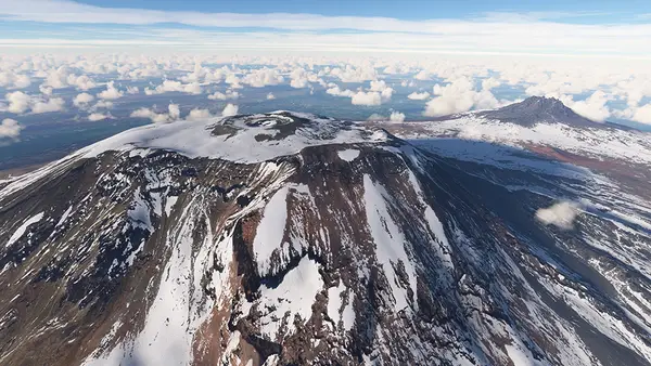
Introducing version 2.0 of the aerial scenery rendering of the African continent's tallest mountain, it's nearby sister mountain Mawenzi Peak, and its surroundings! Designed to cover the missing aerial imagery in this part of the virtual world and created specifically for Microsoft's Flight Simulator 2020 using the latest SDK compliant methods, the TerraBuilder Kilimanjaro PhotoReal scenery has been color and shadow corrected and seamlessly blended into the surrounding generic textures. It retains the default generic vegetation and 3D structures. With the Version 2.0 inclusion of the Mawenzi Peak, the final area covered is over 260 square kilometers, and the size of the scenery package is 6.5Gb.
Version History:
Version 2.0 July 2024 - Now including Mawenzi Peak! Features:
- 90 square kilometers of Mawenzi Peak expanded coverage brings to a total of over 260 square kilometers of high resolution aerial orthophoto coverage
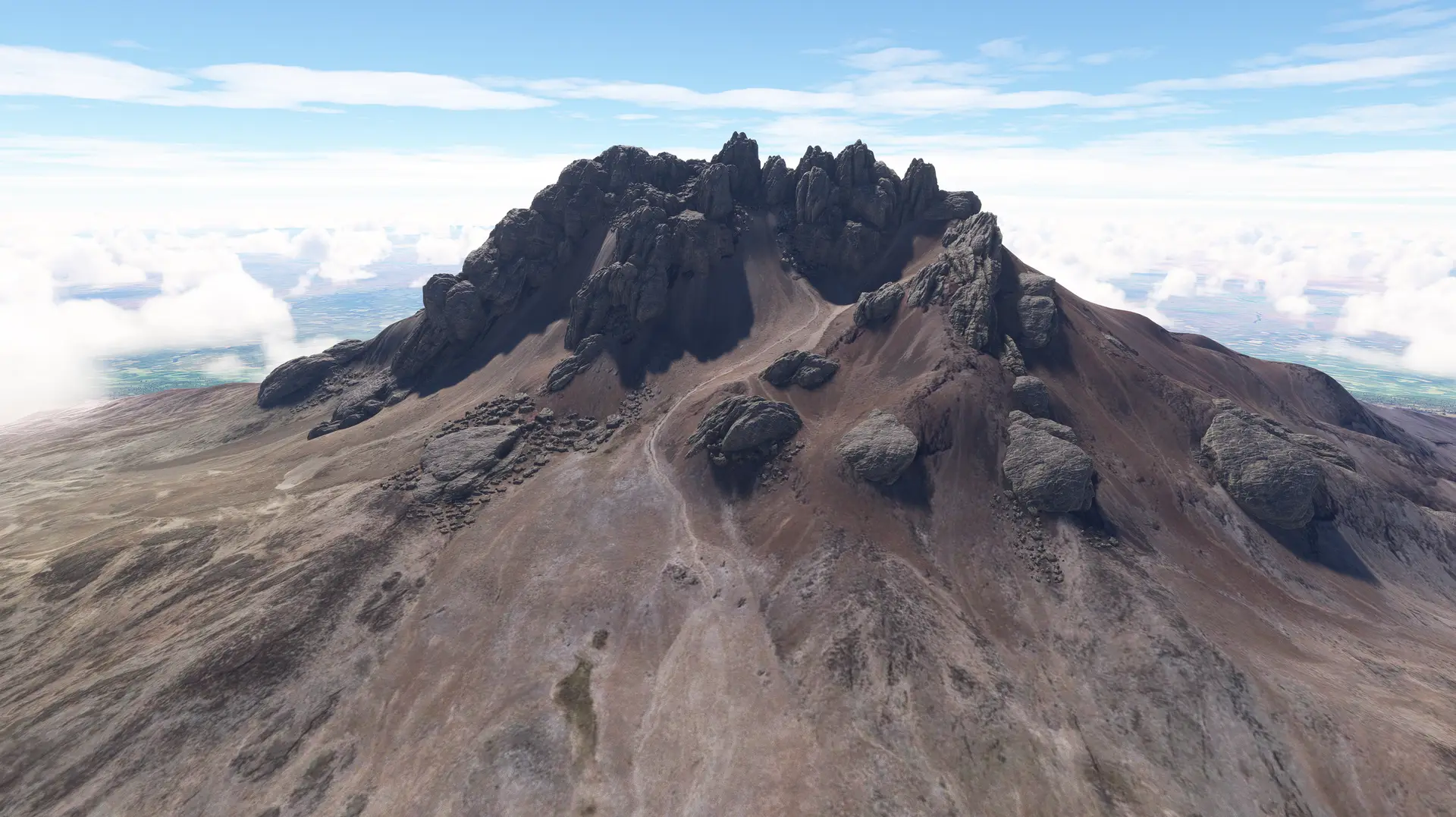
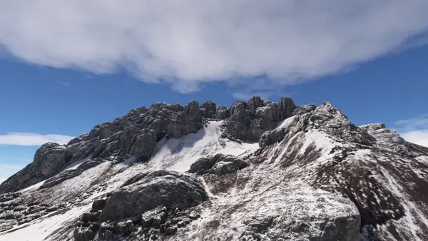
- 3D rock structures precisely positioned and aligned to faithfully depict the rugged ancient volcanic terrain
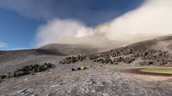
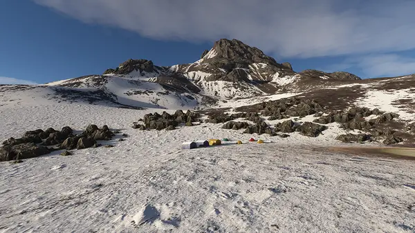
- Includes Mawenzi Tarn Camp location with camp structures
Version 1.0 August, 2023 (Initial Release) Features:
- Over 170 square kilometers of high resolution aerial orthophoto coverage
- Precisely positioned and aligned
- Perfectly fits and complements default mesh
- Release version package 4.4Gb in size
- Color and shadow corrected
- Seamlessly blended into the surrounding generic textures
- Retains default 3D structures and vegetation
This pack contains 8 Aerial Imagery packages, covering the whole Kilimanjaro and Mawenzi alpine desert area, from its caldera down to the first sparse vegetation elevations:
- Kilimanjaro North West
- Kilimanjaro South West
- Kilimanjaro North
- Kilimanjaro South
- Kilimanjaro North East
- Kilimanjaro South East
- Mawenzi North
- Mawenzi South
